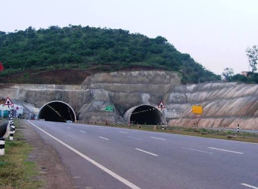
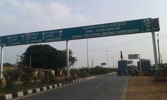
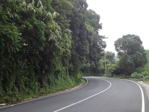
From one of Hinduism’s holiest glacier-fed sources to a quiet town in Madhya Pradesh’s forest belt — NH 34 covers a stretch of India that few highways attempt: it begins at Gangotri Dham, the origin point of the Ganga in the Himalayas, and ends 1,426 km later at Lakhnadon near Jabalpur. Along the way, it happens to be the longest national highway running through Uttar Pradesh, threading through pilgrim towns, historic cities, and busy commercial stretches.
If you’re planning to travel this route, or just want accurate details on its length, speed limits, and current traffic fine rules, here’s the complete picture.
NH 34 Quick Facts
| Detail | Information |
| Starting point | Gangotri Dham, Uttarakhand |
| Ending point | Lakhnadon, Madhya Pradesh (junction with NH 44) |
| Total length | Approximately 1,426 km |
| States covered | 3 — Uttarakhand, Uttar Pradesh, Madhya Pradesh |
| Notable fact | Longest national highway passing through Uttar Pradesh |
| Highway type | Largely two-lane; hilly and narrower in the Uttarakhand stretch |
| Maintained by | National Highways Authority of India (NHAI) |
| Speed limit | 100 km/h (cars/LMVs), 90 km/h (larger passenger vehicles), lower on hill and city stretches |
| Major cities linked | Uttarkashi, Rishikesh, Haridwar, Meerut, Aligarh, Kanpur, Jabalpur |
| Overspeeding fine | ₹1,000-₹4,000 range under the Motor Vehicles (Amendment) Act, 2019, varying by vehicle type and state |
Start and End: A Himalayan Source to a Central Indian Junction
NH 34 begins at Gangotri Dham in Uttarakhand — the glacial source point of the Ganga and one of the four sites in the revered Chota Char Dham pilgrimage circuit. From there, it runs south and east for over 1,400 km, finally terminating at Lakhnadon in Madhya Pradesh’s Seoni district, where it meets NH 44.
That’s an unusual pairing of endpoints: one a globally significant pilgrimage site at over 3,000 metres elevation, the other a modest highway junction town best known for connecting travellers onward toward Nagpur and central India. The highway essentially threads a path from the high Himalayas down through the Gangetic plains and into the forested uplands of Madhya Pradesh.
The Route Through Three States
Leaving Gangotri, NH 34 descends through Bhatwari, Uttarkashi, and Dharasu before reaching Rishikesh and Haridwar — two of India’s most visited spiritual towns, drawing steady pilgrim and tourist traffic year-round. This Uttarakhand stretch is also the most physically demanding part of the drive, involving mountain roads, sharp gradients, and stretches prone to landslides during monsoon.
Entering Uttar Pradesh, the highway becomes noticeably busier and more commercial. It passes through Najibabad, Bijnor, Meerut, Ghaziabad, Bulandshahr, Aligarh, Kannauj, and Kanpur — a corridor carrying heavy freight and passenger traffic given the density of towns and cities along this stretch. This UP portion alone accounts for the highway’s status as the state’s single longest national highway.
From Kanpur, NH 34 continues through Hamirpur, Mahoba, and crosses into Madhya Pradesh at Chhatarpur. The MP stretch runs through Damoh and Jabalpur before reaching the final terminus at Lakhnadon — a quieter, more forested drive compared to the dense UP corridor.
Speed Limits You Should Actually Know
Speed limits on NH 34 follow the standard national highway framework set under the Motor Vehicles Act, but they vary meaningfully by stretch. On open, well-maintained sections — mostly through the UP plains — cars and light motor vehicles can travel up to 100 km/h, while vehicles carrying nine or more passengers are capped at 90 km/h. Heavy vehicles typically face lower limits, often around 60-80 km/h depending on the specific stretch and local notifications.
These limits drop considerably through the Uttarakhand hill sections, where sharp curves and elevation changes make the posted highway speed largely irrelevant — safe driving here means going well under the technical limit regardless of what’s posted. Always follow local signage over general highway defaults, since state authorities can and do impose lower limits on specific sections, particularly near towns, schools, and accident-prone stretches.
Challan Rules: What a Violation on NH 34 Actually Costs
Traffic enforcement on NH 34, like most national highways, now runs heavily on ANPR (Automatic Number Plate Recognition) cameras and e-challan systems, meaning violations don’t require a traffic officer physically present to be caught and fined.
Under Section 183 of the Motor Vehicles Act, overspeeding penalties generally fall between ₹1,000 and ₹4,000, with the exact amount depending on vehicle category — light motor vehicles typically sit at the lower end, while medium and heavy vehicles attract steeper fines. Repeat offences can push penalties higher and, in serious cases, lead to licence suspension. States along this route — Uttarakhand, UP, and MP — each notify their own specific rates within these central guidelines, so the exact figure can differ slightly depending on which state stretch you’re driving through.
Challans can be checked and paid through the Parivahan portal or respective state transport department websites, and it’s worth settling them within the notified window since delayed payment can add further penalties or complications during vehicle registration renewal.
Why This Highway Matters
Beyond its religious significance at the Uttarakhand end, NH 34’s real economic weight sits in the UP stretch, where it connects some of the state’s most industrially and agriculturally active districts — Meerut’s sugar and dairy belt, Aligarh’s lock and hardware manufacturing hub, and Kanpur’s leather and textile industries. This corridor sees heavy daily freight movement alongside passenger and pilgrim traffic, making it one of the busier stretches of highway in northern India despite not carrying the same national profile as NH 44 or NH 48.
Road Conditions and What to Expect
Road quality shifts noticeably across the three states. The Uttarakhand stretch is narrow, hilly, and weather-dependent — monsoon season brings real landslide risk, particularly between Uttarkashi and Dharasu. The Uttar Pradesh stretch is generally well-maintained but often congested, given the sheer number of towns and cities the highway passes directly through. The Madhya Pradesh portion tends to be quieter and less developed in places, particularly closer to Lakhnadon.
FAQs
Q1. Is NH 34 safe to drive during the monsoon season?
The Uttarakhand stretch, especially between Uttarkashi and Dharasu, carries real landslide risk during heavy monsoon rainfall. If your travel plans include this section specifically, checking current road advisories before departure is worth the extra few minutes, particularly between June and September.
Q2. Why do overspeeding fines on NH 34 vary depending on which state I’m in?
While the Motor Vehicles Act sets a central framework, individual states are permitted to notify their own specific fine amounts within that range. Since NH 34 passes through Uttarakhand, UP, and Madhya Pradesh, the exact challan amount for the same violation can differ slightly depending on which state’s stretch you’re on at the time.
Q3. Can I drive NH 34’s full length in one day?
Not realistically, and it’s not recommended given the hill sections at the start. Most travellers split this into segments — the Gangotri-to-Haridwar pilgrimage leg, then the UP plains stretch, and finally the MP portion — rather than attempting the full 1,426 km as a single continuous drive.
Q4. Does NH 34 pass through any major wildlife or ecologically sensitive zones?
Yes — the highway runs near Hastinapur Wildlife Sanctuary in Uttar Pradesh. Drivers should watch for reduced speed zones and possible animal crossings in this stretch, as authorities have flagged the balance between highway traffic and habitat preservation here as an ongoing concern.