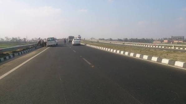
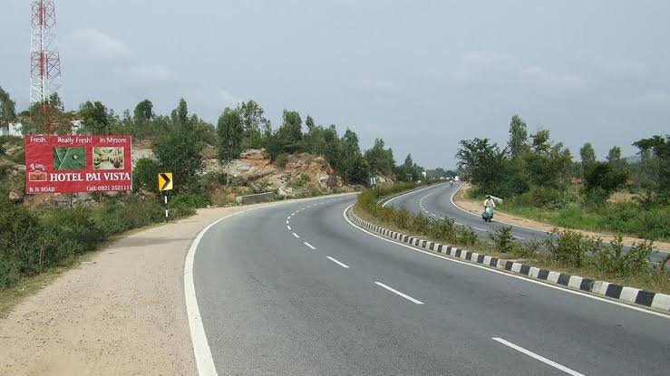
Predating India’s major national expressway building wave of the 2010s and 2020s, the Kalyani Expressway is one of eastern India’s older expressway-standard roads — a genuine piece of West Bengal’s infrastructure history that connects Kolkata’s northern boundary to Kalyani, the planned industrial and academic township in Nadia district. This roughly 44-km corridor has cut the communication time between Kolkata’s northern suburbs and Kalyani from approximately 2 hours down to just 40 minutes.
Here’s the complete, current picture of this expressway’s route, ongoing upgrade, and its role in one of West Bengal’s most economically significant corridors.
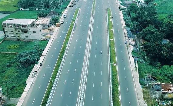
Kalyani Expressway Quick Facts
| Detail | Information |
| Starting point | Nimta, North Kolkata (junction with Belghoria Expressway) |
| Ending point | Bansberia, Hooghly district |
| Total length | Approximately 44.17 km (sources vary between 35-44 km by measurement) |
| Lanes | 6-lane (some low-traffic sections 4-lane), plus 2 service lanes each side |
| Maintained by | Kolkata Metropolitan Development Authority (KMDA) |
| Executed by | West Bengal Highway Development Corporation Limited (WBHDCL) |
| Toll status | Tolled |
| Districts covered | North 24 Parganas, Nadia, Hooghly |
Where the Expressway Begins and Ends
The Kalyani Expressway starts at Nimta in North Kolkata, connecting directly to the Belghoria Expressway, and runs north to Bansberia in Hooghly district, tracing the western bank of the Hooghly River.
Key route facts:
- Total length: approximately 44.17 km
- Runs parallel to National Highway 34 (historic designation)
- Reduces Kolkata northern suburbs-to-Kalyani travel time from roughly 2 hours to 40 minutes
- Connects directly to the Belghoria Expressway at its southern terminus
The Route Through North 24 Parganas and Nadia
Leaving Nimta, the expressway runs through a sequence of significant towns along the Hooghly’s western bank before reaching Kalyani and continuing to Bansberia.
Towns and localities along the route:
- Sodepur — early stretch, intersects Barasat Road
- Khardaha — connects to Nilgunj Road
- Barrackpore — historically significant colonial-era military cantonment, home to Gandhi Ghat, densely populated
- Kankinara — connects toward Kakinara-Rafipur Road
- Naihati and Halisahar — significant industrial towns with jute processing, chemical manufacturing, and small-scale engineering traditions
- Kanchrapara — industrial zone, connects to Haringhata Road
- Kalyani — West Bengal’s planned satellite city, connects to State Highway 1
- Bansberia — northern terminus in Hooghly district, connects to NH-12 and SH-6 via the Ishwar Gupta Setu
Kalyani: A Genuinely Significant Planned City
The expressway’s northern destination deserves specific understanding, since Kalyani isn’t simply a suburban stop but a deliberately planned township with real historical and academic significance.
About Kalyani:
- Planned in the 1950s as a model township, inspired by early post-independence Indian urban planning philosophy
- Grew into one of West Bengal’s most significant industrial and academic centres
- Home to the University of Kalyani and several other academic institutions
- Continues to attract residential and educational growth given its planned infrastructure and expressway connectivity
Ongoing Major Upgrade: What’s Changing
This expressway is currently undergoing genuinely significant infrastructure improvement, and understanding the phased plan matters for anyone using this corridor regularly.
Upgrade project structure:
- Phase I — 6-lane elevated connector between Belghoria Expressway and Kalyani Expressway, including widening from Nimta to Muragacha (4.565 km total)
- Phase II — covers 30.5 km from Muragacha to Kampa, completed February 2025
- WBHDCL continues widening remaining 4-lane sections to 6-lane standard
- Executed under Engineering, Procurement, and Construction (EPC) mode
The Kampa More-to-NH-12 Elevated Connector
A specific, already-completed piece of this broader upgrade deserves attention given its direct impact on connectivity toward Nadia district.
Elevated connector details:
- 6-km, 6-lane elevated corridor connecting Kalyani Expressway at Kampa More to NH-12 in Kalyani
- Work initiated in 2022
- Completed and became operational in October 2024
- Specifically improves access toward Nadia district and beyond
The Second Ishwar Gupta Setu: A Major Bridge Upgrade
Given the expressway’s crossing of the Hooghly River near Bansberia, a significant new bridge project is underway to expand capacity at this critical crossing point.
Bridge project details:
- A 6-lane extradosed cable-stayed bridge over the Hooghly River, linking Kalyani to Bansberia
- Construction initiated in 2018, with significant progress reported through 2023
- Estimated cost: approximately ₹1,600 crore
- Projected to open by 2026
- Will substantially enhance cross-river connectivity alongside the existing Ishwar Gupta Setu
Why This Expressway Matters Economically
Beyond simple travel time savings, this corridor connects some of West Bengal’s most economically significant industrial and educational zones.
Economic significance:
- Naihati, Halisahar, and Kanchrapara together form the expressway’s central industrial zone, with strong engineering and manufacturing traditions
- Has spurred urbanization along its corridor, boosting residential growth, industrial zones, and educational hubs
- Improves accessibility for satellite towns, contributing to regional economic development
- SH-1 at Kalyani connects toward Bangaon and the Bangladesh border, giving this corridor genuine cross-border trade relevance
Connectivity to Kolkata’s Broader Highway Network
The Kalyani Expressway functions as a critical northern extension of Kolkata’s expressway system, linking directly into several other significant regional roads.
Key connections:
- Belghoria Expressway — direct connection at Nimta, itself linking to NH-19 and Kolkata Airport
- NH-12 — connects via the Kampa More elevated corridor at Kalyani
- NH-19 (former NH-2) — accessible via Belghoria Expressway toward Dankuni
- SH-1 and SH-2 — intersect the expressway at multiple points along its route
FAQs
Q1. Why do different sources cite the Kalyani Expressway’s length as anywhere from 35 to 44 km?
This reflects different measurement points and phases of the ongoing upgrade project — some figures measure only the core Nimta-to-Kampa stretch, while others include the full route through to Bansberia and connecting elevated sections. The most commonly cited full-route figure is approximately 44.17 km.
Q2. Is the entire Kalyani Expressway currently six-lane, or should I expect mixed road conditions?
Expect mixed conditions currently — while Phase II (Muragacha to Kampa) completed in February 2025, some sections remain in the process of widening from 4 to 6 lanes as part of ongoing WBHDCL work. Check current status for your specific stretch before travel.
Q3. How does the new Kampa More elevated connector help if I’m heading toward Nadia district?
This 6-km, 6-lane elevated corridor, operational since October 2024, directly links the Kalyani Expressway to NH-12 at Kalyani, significantly improving access toward Nadia district and beyond without navigating slower local roads.
Q4. When will the Second Ishwar Gupta Setu be ready, and why does it matter?
It’s projected to open by 2026, and once complete, this 6-lane cable-stayed bridge will substantially increase cross-Hooghly River capacity between Kalyani and Bansberia, easing pressure on the existing bridge crossing at this critical northern terminus point.