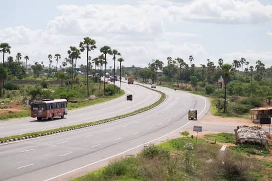
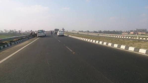
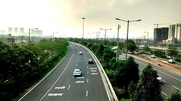
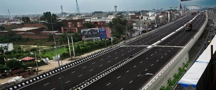
Running straight through the heart of Panipat city, this 10-km elevated corridor is home to genuinely notable engineering distinction — a 3-km stretch that holds the title of the longest six-lane flyover on any national highway in India. Built by L&T at a cost of ₹325 crore, the Panipat Elevated Expressway has cut driving time between Delhi and Amritsar by 40 minutes, transforming what was once a chronically congested stretch of NH-44 into a smooth, elevated bypass.
Here’s the complete, current picture of this expressway’s route, toll structure, and the specific engineering that makes it stand out.
Panipat Elevated Expressway Quick Facts
| Detail | Information |
| Also known as | Panipat Elevated Corridor |
| Location | Panipat, Haryana |
| Highway | NH-44 (formerly NH-1), Grand Trunk Road |
| Total length | 10 km |
| Position on NH-44 | Between Km 86 and Km 96 |
| Lanes | 6-lane elevated, plus separate 2-lane peripheral road for local traffic |
| Built by | Larsen & Toubro (L&T) |
| Maintained/tolled by | L&T Panipat Elevated Corridor Limited |
| Operational since | July 2008 |
| Project cost | Approximately ₹325 crore |
Where the Expressway Runs
The Panipat Elevated Expressway runs directly through Panipat city on NH-44, positioned between Km 86 and Km 96 on this critical Delhi-Amritsar corridor.
Key route facts:
- Total length: 10 km
- Bypasses three main road crossings within the city: Panipat-Gohana, Sanauli, and Asand road
- Includes a separate two-lane peripheral road specifically for local traffic, keeping through-traffic and city traffic distinctly separated
- Underpasses located at Km 87, Km 92, and Km 93.6
Why This Expressway Was Genuinely Necessary
Understanding the specific traffic problem this corridor solved explains why an elevated solution was chosen over simple road widening.
The core problem it addressed:
- NH-44 (formerly NH-1) connects Delhi, Panipat, Ludhiana, Ambala, and Amritsar all the way to the Wagah border — a vital northern trade route
- Panipat itself is a populous industrial city, meaning the highway through it carried heavy industrial vehicle traffic alongside local bicycles, cars, and everyday city traffic
- This mix created chronic, severe congestion precisely where through-traffic needed to move fastest
- More than 60,000 passenger car units bound for Delhi and Amritsar use this 10-km stretch regularly
A Genuine Engineering Highlight
This expressway includes a specific section that holds a notable distinction within India’s national highway infrastructure.
Notable engineering feature:
- A 3-km elevated corridor within the expressway is the longest six-lane flyover on any national highway in India
- This section passes directly over Panipat’s city bus stand
- The expressway also includes an overbridge crossing Gande Nalla
- A 20-lane toll plaza was built specifically to manage entry and exit efficiently given the high traffic volume
Toll Structure and Payment
As a BOT (Build-Operate-Transfer) project, the Panipat Elevated Expressway operates under a toll system managed by its original developer.
Key toll details:
- Toll plaza officially known as Panipat Elevated Toll Plaza (also called L&T Toll Plaza)
- 22 toll lanes at the plaza, per NHAI’s toll information system
- FASTag is the primary payment method — tags must be active, correctly fixed to the windscreen, and linked to the vehicle’s registration
- Should not be confused with Bastara Toll Plaza near Gharaunda, or Dahar and Makrauli Kalan toll plazas on the separate Rohtak-Panipat route
Speed Limits on This Stretch of NH-44
Given the expressway’s position within the broader NH-44 corridor, speed regulations here follow the standard framework for expressway sections of India’s longest national highway.
Speed limit structure:
- Cars/light vehicles: up to 120 km/h on expressway sections like this one (100 km/h on standard highway sections elsewhere)
- Trucks/heavy vehicles: 100 km/h
- Two-wheelers: 80 km/h
- Automated speed cameras operate on expressway sections, with overspeeding fines ranging ₹1,000-2,000 plus potential license suspension
Practical Route Guidance
Given the expressway’s position running directly through Panipat, understanding how to actually access it matters for both through-traffic and local drivers.
Access guidance:
- Travelling from Delhi or Karnal direction: continue through the Karnal-Gharaunda corridor, then follow signs for the elevated highway and toll lanes upon entering Panipat
- From Rohtak direction: travel via the Rohtak-Panipat road, then follow signs for NH-44 upon entering the city
- Local drivers who only need to travel within Panipat should check whether the separate service-road/peripheral route is available, avoiding the tolled elevated section entirely if their journey doesn’t require it
- Given local traffic conditions near city junctions, live navigation is genuinely useful for first-time users
Why This Matters Within NH-44’s Broader Upgrade Story
The Panipat Elevated Expressway sits within a larger pattern of NH-44 modernization efforts, particularly along the critical Delhi-Amritsar stretch.
Broader NH-44 context:
- This corridor predates but complements the more recent 70-km Delhi-to-Panipat elevated expressway upgrade, completed in July 2023 at a cost of ₹2,178.82 crore
- Together, these projects reflect sustained investment in easing congestion along one of India’s busiest and most economically significant highway stretches
- The corridor serves traffic moving between Delhi, Sonipat, Panipat, Karnal, Kurukshetra, Ambala, and Chandigarh
FAQs
Q1. Can I avoid the toll if I only need to travel within Panipat city?
Yes — the expressway includes a separate two-lane peripheral road specifically built for local traffic. Check whether this service-road route serves your specific journey before defaulting to the tolled elevated section, especially if you’re not making a genuine through-journey.
Q2. Is the Panipat Elevated Toll Plaza the same as other toll plazas near Panipat?
No — it’s specifically located on the 10-km elevated section of NH-44 and should not be confused with Bastara Toll Plaza near Gharaunda, or the Dahar and Makrauli Kalan toll plazas on the separate Rohtak-Panipat highway route. Confirm you’re at the correct plaza given your specific route.
Q3. What makes the 3-km flyover section particularly notable compared to other elevated highways?
It holds the distinction of being the longest six-lane flyover on any national highway in India, and it passes directly over Panipat’s city bus stand — a genuine engineering achievement for managing this specific urban traffic challenge.
Q4. How much time does this expressway actually save on a Delhi-Amritsar journey?
The expressway has cut driving time between Delhi and Jalandhar/Amritsar by approximately 40 minutes, primarily by eliminating the congestion that previously built up at Panipat’s three main road crossings before the elevated bypass existed.