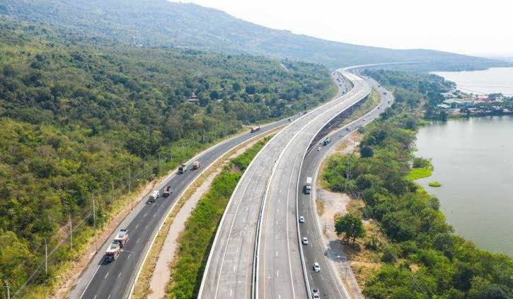
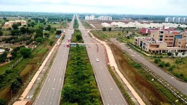
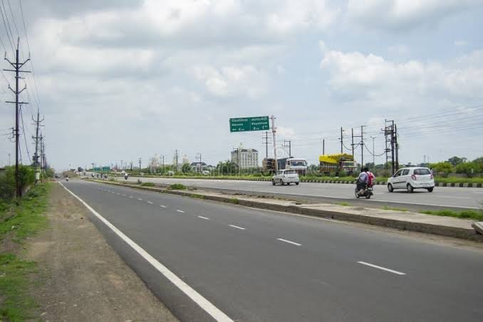
Two highways in this series now end at the exact same point: Wakro, in Arunachal Pradesh’s Lohit district, where NH 15 completes its roughly 664-km journey from Assam and meets NH 13, the Trans-Arunachal Highway that continues onward to Tawang. That junction makes NH 15 something of a critical feeder route — the primary link connecting Assam’s Brahmaputra valley towns to Arunachal Pradesh’s road network.
NH 15 Quick Facts
| Detail | Information |
| Starting point | Baihata Chariali, Kamrup district, Assam (junction with NH 27) |
| Ending point | Wakro, Lohit district, Arunachal Pradesh (junction with NH 13) |
| Total length | Approximately 664 km |
| State-wise split | Around 585 km in Assam, 79 km in Arunachal Pradesh |
| States covered | 2 — Assam, Arunachal Pradesh |
| Formed from | Merger of old NH 52, NH 52B, and NH 37 |
| Maintained by | NHAI, NHIDCL, and state PWDs |
| Major towns linked | Tezpur, North Lakhimpur, Dibrugarh, Tinsukia, Namsai |
| Speed limit | 100 km/h theoretical maximum on cars; significantly lower on winding hill sections |
Where NH 15 Begins and Ends
NH 15 starts at Baihata Chariali, a junction town in Assam’s Kamrup district close to Guwahati, at its intersection with NH 27. From there, it runs east through Assam’s Brahmaputra valley before crossing into Arunachal Pradesh and terminating at Wakro, where it connects to NH 13, the highway that continues on toward Tawang in the state’s northwest.
Notably, the vast majority of NH 15’s length sits within Assam — roughly 585 km out of the total 664 km — with only about 79 km actually falling within Arunachal Pradesh. This makes NH 15 functionally more of an Assam highway that happens to terminate just across the state border, rather than a genuinely dual-state corridor in the way some other highways in this region are.
The Route Through Assam and Arunachal Pradesh
Leaving Baihata Chariali, NH 15 passes through Mangaldai and Dhekiajuli before reaching Tezpur, one of Assam’s more historically significant towns and a popular tourism base for the region. Continuing east, the highway runs through Banderdeva toward North Lakhimpur, then Kulajan, before reaching Dibrugarh and Tinsukia — two of Upper Assam’s most economically important towns, both closely tied to the region’s tea and oil industries.
From Tinsukia, NH 15 crosses into Arunachal Pradesh, passing through Namsai before reaching its terminus at Wakro. This final Arunachal stretch, while short in distance, marks the transition from Assam’s flatter valley terrain into the hillier, more rugged landscape that characterizes much of Arunachal Pradesh’s road network.
The Mangaldai Bypass and Ongoing Upgrades
Worth noting specifically for anyone planning to drive this route: in mid-2023, the Union Minister of Road Transport and Highways laid the foundation for a 15-km bypass around Mangaldai, budgeted at roughly ₹535 crore. This project is intended to ease traffic flow through what has historically been a congested town stretch, strengthening connectivity across the broader West Bengal-Assam-Arunachal Pradesh corridor.
More broadly, sections of NH 15 have been undergoing widening and strengthening work to bring parts of the route up to four-lane standard, addressing both growing traffic volume and terrain-related challenges like flooding in the low-lying Assam stretches during monsoon season.
Connection to the Trans-Arunachal Highway
The Namsai-Wakro stretch of NH 15 also forms part of the larger, under-construction Trans-Arunachal Highway project — an ambitious road network intended to eventually connect Tawang in the far northwest all the way to Assam in the southeast, spanning over 2,400 km and passing through 16 districts of Arunachal Pradesh. This broader project has faced delays since its initial 2008 announcement, but work continues in phases across various stretches, and NH 15’s eastern portion functions as one connecting piece of this larger vision for regional connectivity.
Why This Highway Matters Economically
NH 15 links some of Assam’s most industrially significant towns — Dibrugarh and Tinsukia in particular, both central to the state’s tea and petroleum sectors — with Arunachal Pradesh’s road network via Namsai and Wakro. For businesses and residents in Arunachal’s lower districts, this highway represents one of the primary overland connections to Assam’s larger economy and transport infrastructure, including rail and air links concentrated around Dibrugarh.
The improved connectivity along this corridor has also supported real estate and commercial growth in towns like Tezpur and Dibrugarh, where highway accessibility has become an increasingly relevant factor in local development patterns.
Road Conditions and Driving Considerations
The Assam stretch of NH 15 is generally more developed and consistent than the shorter Arunachal Pradesh portion, given the flatter terrain and larger population centres it passes through. That said, monsoon flooding is a genuine recurring concern across parts of the Assam stretch, given the region’s proximity to the Brahmaputra river system.
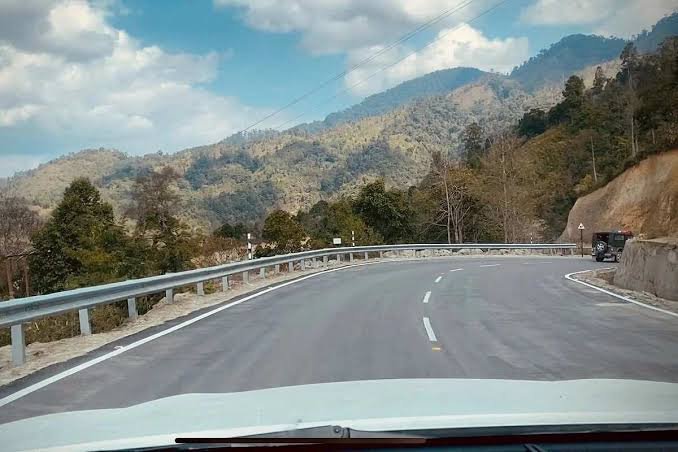
The brief Arunachal Pradesh section near Wakro introduces hillier terrain with winding roads, where frequent rainfall can affect visibility and road grip. Cruise control is specifically discouraged on these winding stretches, and drivers are advised to stay alert to weather-related visibility changes rather than assuming consistent conditions throughout the drive.
FAQs
Q1. Why does NH 15 mostly run through Assam if it’s meant to connect to Arunachal Pradesh?
The highway’s primary function is linking Assam’s Brahmaputra valley towns to the Arunachal Pradesh border at Wakro, where it hands off to NH 13 for onward travel deeper into the state. The uneven state-wise length simply reflects Assam’s larger geographic footprint along this particular corridor.
Q2. Is the Mangaldai bypass currently complete, or should I expect congestion there?
The bypass project began construction in 2023 with a multi-year timeline typical for infrastructure of this scale. Check current status before travel if you’re passing through Mangaldai specifically, since construction-related traffic management can affect this stretch until the project fully completes.
Q3. Does NH 15 connect directly to Tawang or other major Arunachal Pradesh destinations?
Not directly — NH 15 terminates at Wakro, where it meets NH 13. To reach Tawang or other destinations further into Arunachal Pradesh, you’d continue on NH 13 from that junction point rather than expecting NH 15 itself to extend further.
Q4. What’s the biggest weather-related risk on this route, and when should I be most cautious?
Monsoon flooding along the Assam stretch, particularly given the region’s proximity to the Brahmaputra river system, is the most significant recurring risk — generally an issue between June and September. The shorter Arunachal Pradesh section near Wakro also sees reduced visibility during heavy rainfall on its winding hill roads, so building weather checks into trip planning during monsoon months is worthwhile regardless of which portion of the route you’re driving.