Punjab’s border town to a bridge deep in the Kumaon Himalayas near the Nepal frontier — NH 9 runs nearly 954 km, and it’s arguably the most administratively significant highway on this list purely because of where it passes through: Delhi, the national capital, sits almost exactly at its midpoint. From there, it continues into Uttarakhand, where it’s known locally as the Kailash Mansarovar Road, connecting toward one of the routes pilgrims use for that sacred yatra.
Here’s the complete, current breakdown of NH 9’s route, length, and what you need to know before travelling it.
NH 9 Quick Facts
| Detail | Information |
| Starting point | Fazilka, Punjab |
| Ending point | Gori Ganga Bridge, Askot (near Jauljibi), Uttarakhand |
| Total length | Approximately 954 km |
| States/UT covered | 5 — Punjab, Haryana, Delhi, Uttar Pradesh, Uttarakhand |
| Formed from | Old NH 10, NH 24, NH 87, NH 74, and NH 125, merged in 2010 |
| Local name | Kailash Mansarovar Road (in Uttarakhand) |
| Maintained by | National Highways Authority of India (NHAI) |
| Major cities linked | Sirsa, Hisar, Rohtak, Delhi, Ghaziabad, Moradabad, Rudrapur |
| Speed limit | 100 km/h (cars), 90 km/h (larger passenger vehicles), 80 km/h (goods vehicles), 40 km/h (autos/commercial three-wheelers) |
Where NH 9 Starts and Ends
NH 9 begins at Fazilka, a Punjab town near the India-Pakistan border, and runs east through Haryana, straight through Delhi, into Uttar Pradesh, and finally into Uttarakhand’s Kumaon hills, terminating at the Gori Ganga Bridge near Askot in Pithoragarh district — close to the tri-junction where India, Nepal, and Tibet nearly meet.
This makes NH 9 unusual among India’s highways in one specific way: it’s one of the few major national highways that runs directly through the national capital itself rather than bypassing it via a ring road or outer corridor, which has practical implications for anyone planning to drive the full route, given Delhi’s traffic density.
The Route Across Five States
Leaving Fazilka, NH 9 passes through Malout in Punjab before entering Haryana via Dabwali, Sirsa, Fatehabad, Hisar, and Rohtak — a stretch through Haryana’s agricultural and industrial belt. From Rohtak, the highway continues to Bahadurgarh before entering Delhi itself.
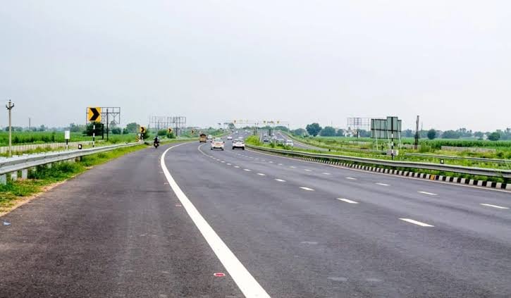
After crossing Delhi, NH 9 enters Uttar Pradesh through Ghaziabad, continuing through Moradabad and Rampur. This UP stretch has seen substantial four-laning and widening work over the past decade, considerably improving what was once a slower, more congested section.
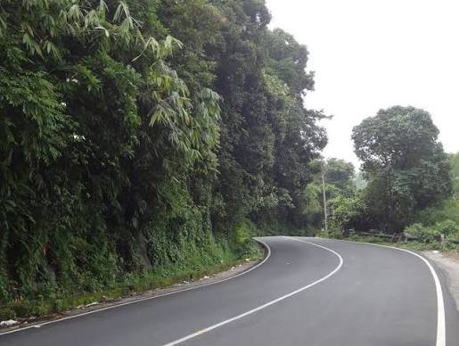
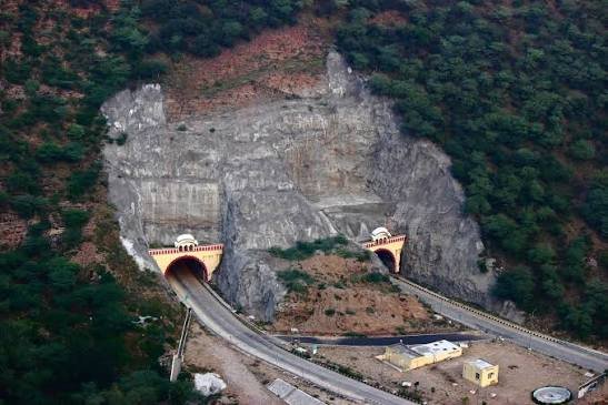
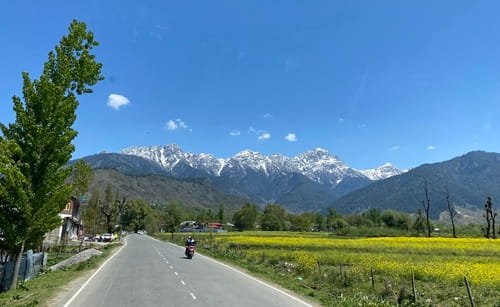
Entering Uttarakhand, the highway passes through Rudrapur, Sitarganj, Khatima, and Tanakpur before climbing into the Kumaon hills toward Pithoragarh and finally reaching its terminus near Askot and Jauljibi — a genuinely remote stretch close to both the Nepal border and the route toward Lipulekh Pass.
The Kailash Mansarovar Connection
The Uttarakhand stretch of NH 9 carries particular significance as the Kailash Mansarovar Road — historically one of the key overland approaches used for the Kailash Mansarovar Yatra, the pilgrimage to Mount Kailash and Lake Mansarovar in Tibet. As of 2026, the Ministry of External Affairs has resumed operating this yatra through two routes: via Lipulekh Pass in Uttarakhand, and via Nathu La in Sikkim, with the Uttarakhand route running from June to August and requiring advance online applications.
If you’re travelling this stretch of NH 9 during yatra season specifically, expect heavier pilgrim-related traffic and logistical activity around Pithoragarh and Tanakpur, since these towns function as key staging points for the journey onward toward the border.
Delhi: The Highway’s Busiest and Most Complex Stretch
It’s worth calling out separately because it genuinely changes how you should plan a trip on this highway: the Delhi portion of NH 9 isn’t a simple pass-through. Given the capital’s traffic density, congestion here can add significant time compared to the relatively smoother Haryana and UP stretches on either side. If your journey doesn’t specifically require entering central Delhi, checking for ring-road or peripheral expressway alternatives to bypass the densest sections is generally worth the extra planning.
Speed Limits Along NH 9
Standard national highway limits apply across most of the route — up to 100 km/h for cars, 90 km/h for larger passenger vehicles, and 80 km/h for goods vehicles on open, well-developed stretches. Commercial three-wheelers and autos face a notably lower cap of 40 km/h regardless of road type, which is worth knowing if you’re driving a vehicle in that category through any part of this route.
These limits become largely theoretical once the highway enters Uttarakhand’s Kumaon hills past Tanakpur — narrower roads, elevation changes, and curves through Pithoragarh district mean actual safe speeds drop well below the plains figures for this final stretch.
Challan Rules on NH 9
Standard Motor Vehicles Act penalties apply across all five regions this highway passes through, with overspeeding fines typically in the ₹1,000-₹4,000 range depending on vehicle category. Punjab, Haryana, Delhi, Uttar Pradesh, and Uttarakhand each set their own specific rates within the central framework, meaning fines can differ as you cross state lines along this long route.
Delhi’s stretch, given the city’s extensive camera and ANPR infrastructure, sees considerably more consistent automated enforcement than the more remote Uttarakhand hill sections — worth keeping in mind if you’re driving the full length and assuming enforcement intensity stays constant throughout, which it doesn’t.
FAQs
Q1. Does NH 9 actually go through central Delhi, or does it bypass the city?
It runs directly through Delhi rather than bypassing it via ring roads, which means city traffic can add meaningful time to a through-journey. If your trip doesn’t require stopping in Delhi specifically, check for peripheral expressway options to skip the densest central stretches.
Q2. Can I use NH 9 to travel toward the Kailash Mansarovar Yatra route?
The Uttarakhand stretch of NH 9, known locally as the Kailash Mansarovar Road, connects toward Pithoragarh and onward toward Lipulekh Pass, one of the two routes India currently operates the yatra through. Actual participation in the pilgrimage requires separate registration through the Ministry of External Affairs’ official application process, not just driving the highway.
Q3. Why do length figures for NH 9 vary between around 748 km and 954 km?
Some older references measure only from Malout rather than the full Fazilka starting point, and others reflect pre-upgrade distances before certain realignments. The more complete and consistently cited figure, covering the full Fazilka-to-Askot route, is approximately 954 km.
Q4. Is the Uttarakhand hill stretch of NH 9 open year-round?
Generally yes for the lower Tanakpur-Pithoragarh sections, though heavier monsoon rainfall between July and September can cause temporary landslide-related disruptions on the hillier portions. Checking current Uttarakhand PWD or district advisories before travel during monsoon months is worth the extra step.