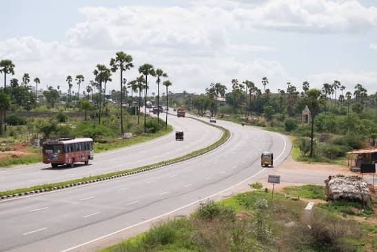
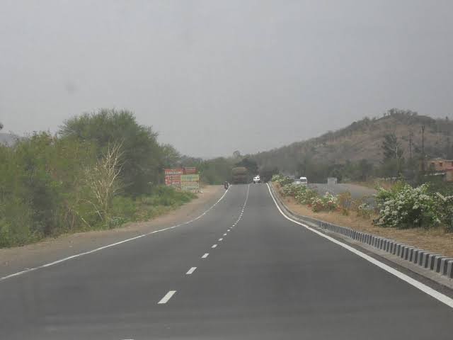
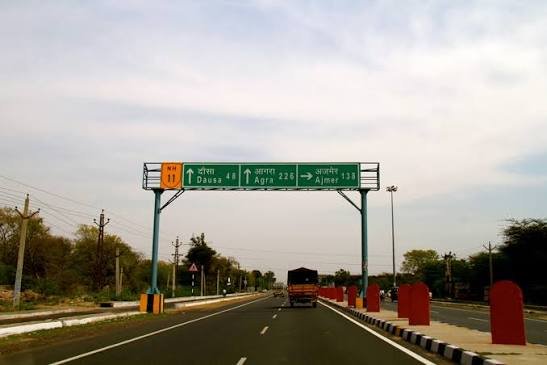
Four of India’s biggest cities, one number worth remembering: NH 48 covers roughly 2,807 km connecting the capital to the country’s southeastern coast, threading through Jaipur, Ahmedabad, Mumbai, Pune, and Bengaluru along the way. If any single highway carries the weight of India’s commercial traffic, it’s this one — it forms the western and southern arms of the Golden Quadrilateral, the network stitching Delhi, Mumbai, Chennai, and Kolkata together.
For anyone researching NH 48’s exact route, length, or the cities it touches, here’s the full picture, verified against current data rather than older figures still floating around online.
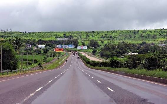
NH 48 Quick Facts
| Detail | Information |
| Starting point | Delhi (Rao Tula Ram Marg) |
| Ending point | Chennai (junction with NH 16) |
| Total length | Approximately 2,807 km (some sources list up to 2,916 km depending on realignment) |
| States/UT covered | 7 — Delhi, Haryana, Rajasthan, Gujarat, Maharashtra, Karnataka, Tamil Nadu |
| Former designation | NH 8 (Delhi-Mumbai) + NH 4 (Mumbai-Chennai), merged and renumbered in 2010 |
| Part of | Golden Quadrilateral (western and southern arms) |
| Maintained by | National Highways Authority of India (NHAI) |
| Highway type | Mostly 4-lane and 6-lane; several stretches now being bypassed by the Delhi-Mumbai Expressway |
| Speed limit | 100 km/h (cars), 80 km/h (heavy vehicles) |
| Major cities linked | Jaipur, Udaipur, Ahmedabad, Vadodara, Surat, Mumbai, Pune, Kolhapur, Hubballi, Bengaluru, Vellore |
Where the Highway Begins and Ends
NH 48 originates at Rao Tula Ram Marg in Delhi and finishes at its junction with NH 16 near Chennai, Tamil Nadu. That’s roughly the diagonal spine of peninsular India — cutting through the north, the west coast, the Deccan plateau, and finally the southeast.
It’s worth knowing this highway didn’t start life as a single route. Before the 2010 renumbering, the Delhi-Mumbai stretch was called NH 8, and the Mumbai-Chennai stretch was NH 4. NHAI merged both into one continuous designation, which is why older maps, GPS units, and even some long-haul truckers still refer to sections by their pre-2010 numbers.
The Route: State by State
Leaving Delhi, NH 48 passes through Gurugram and Bawal in Haryana before entering Rajasthan at Kotputli. Through Rajasthan, it connects Jaipur, Kishangarh, Bhilwara, Chittorgarh, and Udaipur — a stretch that doubles as a popular route for travellers heading toward Rajasthan’s heritage circuit.
Crossing into Gujarat, the highway runs through Ahmedabad, Vadodara, Bharuch, and Surat before reaching Maharashtra. This is one of the most industrially dense parts of the entire route — Vadodara and Surat alone account for a significant share of India’s chemical and textile manufacturing output, and a large volume of NH 48’s freight traffic originates here.
In Maharashtra, the highway touches Mumbai, Thane, Pune, Satara, Karad, and Kolhapur before crossing into Karnataka near Belagavi. Through Karnataka, it runs via Hubballi, Davanagere, Chitradurga, Tumakuru, and Bengaluru — India’s tech capital and one of the busiest sections on the entire corridor because of sheer commuter and freight volume converging near the city.
From Bengaluru, NH 48 continues into Tamil Nadu through Krishnagiri and Vellore before terminating at Chennai.
Delhi to Mumbai: The Section Being Replaced
Here’s something worth flagging for anyone planning this route today: the Delhi-Mumbai leg of NH 48 is gradually being superseded by the new Delhi-Mumbai Expressway, a separate 1,350-plus km greenfield corridor. NHAI itself has described the existing NH 48 route as longer and more congested compared to the new expressway alignment.
As of mid-2026, the expressway is substantially complete, with major stretches like Sohna-Dausa already operational, though full end-to-end completion has seen its timeline shift — some reports point to mid-2026, others to later in the year or into 2027 for the final Gujarat-Maharashtra sections. If you’re driving Delhi to Mumbai specifically, it’s worth checking which sections of the expressway are open before defaulting to the older NH 48 route, since the newer corridor cuts travel time from roughly 24 hours to about 12.
South of Mumbai, though, NH 48 remains the primary and largely unreplaced route all the way to Chennai.
Why This Corridor Carries So Much Weight
NH 48 isn’t just long — it’s economically dense in a way few other highways in India are. It connects four of the country’s five largest metropolitan economies (Delhi, Mumbai, Bengaluru, and Chennai, missing only Kolkata), along with major industrial belts in Gujarat and Maharashtra and IT corridors in Karnataka. Ports at Mumbai and Chennai sit at either end of large sections of this highway, making it a critical route for container and export traffic moving inland.
Real estate along several NH 48 stretches — particularly around Gurugram, Vadodara, Pune, and the outskirts of Bengaluru — has seen sustained commercial and warehousing growth, largely because proximity to this highway translates directly into logistics efficiency.
Road Conditions Along the Route
Most of NH 48 is built to a high standard, being part of the original Golden Quadrilateral project. The Gujarat, Maharashtra, and Karnataka stretches are generally smooth, well-signed, four-to-six-lane roads with functioning toll infrastructure. The Rajasthan stretch through Jaipur and Udaipur is well maintained too, given heavy tourist traffic.
Congestion is the bigger issue rather than road quality — sections near Gurugram, Pune, and Bengaluru see heavy daily traffic that can slow an otherwise fast highway to a crawl during peak hours. Toll plazas are frequent along the entire corridor, with charges varying by vehicle category and distance.
FAQs
Q1. Should I use NH 48 or the Delhi-Mumbai Expressway for that leg of the journey?
If your travel date falls after the expressway’s relevant section has opened, take it — it’s faster and less congested. For the Mumbai-to-Chennai leg, NH 48 remains your only option since no parallel expressway currently covers that full stretch.
Q2. Does NH 48 pass directly through Mumbai and Bengaluru city centres?
No. The highway connects to both cities via their outskirts and ring-road networks rather than cutting through the urban core, which is standard practice for national highways near major metros to avoid city traffic entirely.
Q3. Why do some sources list NH 48’s length as 2,807 km and others closer to 2,900 km?
The difference usually comes down to bypass construction and realignment near cities like Pune and Bengaluru, where sections have been rerouted around city centres since the original NH 8/NH 4 merger. The commonly cited NHAI-linked figure is around 2,807 km.
Q4. Which stretch of NH 48 sees the heaviest traffic?
The approach into Bengaluru from Tumakuru and Nelamangala, along with the Gurugram-Jaipur stretch near Delhi, are generally the most congested — both carry a mix of heavy interstate freight and dense commuter traffic converging near major cities.