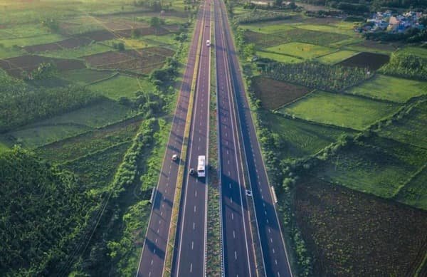
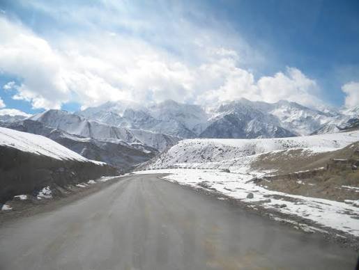
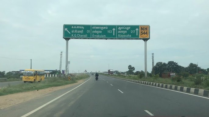
From Mumbai’s industrial outskirts to Telangana’s interior — NH 61 covers a genuinely useful diagonal corridor connecting Bhiwandi in Maharashtra to Nirmal in Telangana, roughly 662 km as originally designated. Worth noting upfront: the highway has since been extended further east from Nirmal to Jagtial, bringing its total current length to about 758 km, though Nirmal remains a significant and commonly referenced point along the route..
NH 61 Quick Facts
| Detail | Information |
| Starting point | Bhiwandi, Maharashtra |
| Original endpoint | Nirmal, Telangana |
| Current extended endpoint | Jagtial, Telangana |
| Length (Bhiwandi-Nirmal) | Approximately 662 km |
| Total length (extended to Jagtial) | Approximately 758 km |
| State-wise split | Maharashtra: ~610 km, Telangana: ~148 km |
| Maintained by | National Highways Authority of India (NHAI) |
| Major towns linked | Kalyan, Ahmednagar, Parbhani, Nanded |
| Toll plazas | Dhoki, Badewadi, Dilawarpur |
| Speed limit | 100 km/h (cars), 90 km/h (larger passenger vehicles), 80 km/h (goods vehicles) |
Where NH 61 Begins and Ends
NH 61 starts at Bhiwandi, an industrial and textile hub on Mumbai’s outskirts, and runs east through Maharashtra’s interior before crossing into Telangana and reaching Nirmal — its originally designated terminus. Since then, the highway has been extended further to Jagtial, meaning the current official route continues somewhat beyond what many maps and older references still describe.
Given that roughly 80% of the highway’s length sits within Maharashtra, NH 61 functions primarily as a Maharashtra corridor connecting the Mumbai metropolitan region to the state’s interior, before extending across the border into Telangana’s northern districts.
The Route Through Maharashtra and Telangana
Leaving Bhiwandi, NH 61 passes through Kalyan and Murbad before reaching the scenic Ghatghar region. Continuing east, the highway runs through Ale, Belhe, and Ahmadnagar — a significant district town — before passing through Pathardi and Gevrai toward Majalgaon.
From here, NH 61 continues through Pathri and reaches Parbhani, followed by Basmath, Ardhapur, and Bhokar before approaching the Telangana border. Once in Telangana, the highway passes through Bhainsa before reaching Nirmal, and continues onward through Khanapur, Mallapuram, and Raikal toward its extended terminus at Jagtial.
The Ghatghar Stretch: A Scenic Detour From the Ordinary
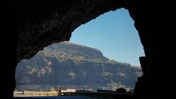
Most of NH 61 functions as a fairly standard interior highway connecting agricultural and commercial towns, but the Ghatghar section near the start of the route, close to Murbad, offers a notably more scenic drive than the rest of the corridor. This area is known for its natural beauty within Maharashtra’s Western Ghats foothills, giving this particular stretch a character distinct from the flatter, more utilitarian sections further east.
Why This Highway Matters for Regional Connectivity
NH 61 serves as an important link between Mumbai’s metropolitan economic base and Maharashtra’s Marathwada region, continuing onward into Telangana’s northern districts. Bhiwandi itself is a significant textile and warehousing hub, meaning substantial freight traffic uses this highway as an outbound route toward central India. Ahmednagar and Parbhani, both sitting directly on the corridor, benefit from this connectivity for regional trade and commerce.
The highway’s extension to Jagtial has further strengthened its role in linking Telangana’s northern agricultural belt to Maharashtra’s broader transport network, supporting movement of goods between the two states more directly than relying solely on longer, more circuitous routes.
Toll Plazas and Practical Travel Notes
NH 61 has three notable toll plazas along its length — Dhoki, Badewadi, and Dilawarpur — spread across the route’s Maharashtra and Telangana stretches. The highway is generally well-served with roadside amenities, including food stalls, dhabas, and rest stops at reasonably regular intervals, making it a practical route for longer drives without significant planning concerns around fuel or food availability.
Road Conditions Along the Route
Given the highway’s considerable length, road quality varies by stretch. The Bhiwandi-Kalyan portion, given its proximity to Mumbai’s metropolitan region, tends to see heavier traffic and correspondingly well-maintained infrastructure. The interior Maharashtra stretch through Ahmednagar and Parbhani is generally serviceable but can include narrower sections in places. The Telangana portion toward Nirmal and Jagtial has seen continued development attention given the highway’s relatively recent extension.
Speed Limits and Driving Notes
Standard national highway limits apply — up to 100 km/h for cars, 90 km/h for larger passenger vehicles, and 80 km/h for goods vehicles on developed stretches. The Ghatghar region’s more hilly terrain near the start of the route may see reduced practical speeds compared to the flatter agricultural stretches further along, so building this into travel time estimates for that section is sensible.
Challan Rules on NH 61
Standard Motor Vehicles Act penalties apply across both Maharashtra and Telangana, with overspeeding fines typically in the ₹1,000-₹4,000 range depending on vehicle category, with each state setting its own specific rates within that framework. Given the highway’s role as a freight corridor connecting Bhiwandi’s warehousing sector to Telangana, commercial vehicle compliance — particularly around goods vehicle speed limits — sees consistent attention along this route.
FAQs
Q. Does NH 61 actually end at Nirmal, or does it continue further?
The highway was originally designated to end at Nirmal but has since been extended further east to Jagtial in Telangana. Depending on which source or map you’re using, you may see either point referenced as the terminus — both are accurate depending on when the reference was made.
Q. Is the Ghatghar stretch of NH 61 worth planning extra time for?
Yes, if you appreciate scenic driving — this section near Murbad offers notably more attractive terrain than the rest of the highway, though it may also involve slightly more careful driving given the hillier landscape compared to the flatter stretches further along the route.
Q. What’s the best way to plan fuel and rest stops on a long NH 61 drive?
The highway is reasonably well-served with dhabas, food stalls, and rest stops along most of its length, particularly around the toll plaza areas at Dhoki, Badewadi, and Dilawarpur. Planning around these points offers a reliable structure for a longer journey without needing extensive advance research.
Q. Why is Maharashtra’s share of NH 61 so much longer than Telangana’s?
The highway’s primary purpose is connecting the Mumbai metropolitan region to Maharashtra’s interior Marathwada districts, with the Telangana extension serving as a more recent addition connecting into that state’s northern agricultural belt. The uneven state-wise length simply reflects this original design intent and geography.