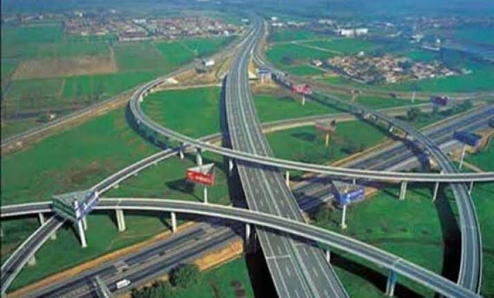
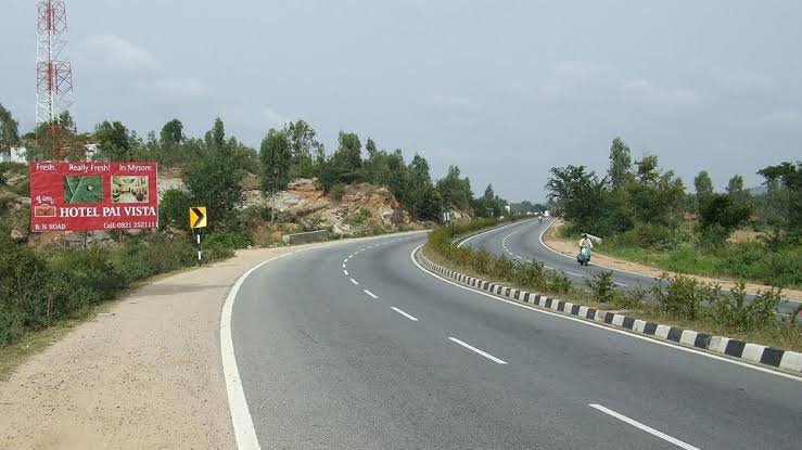
Also known as the Salem-Kochi Highway, NH 544 holds a genuinely distinctive title: it’s the only national highway in Kerala that runs fully four-lane throughout its length, with several stretches already upgraded to six lanes. Spanning 340 km between Salem in Tamil Nadu and Kochi in Kerala, this corridor is also one of the busiest freight routes in South India, carrying everything from consumer goods to container traffic bound for the Port of Kochi.
Here’s the complete, accurate breakdown of this highway’s route, length, and current infrastructure status.
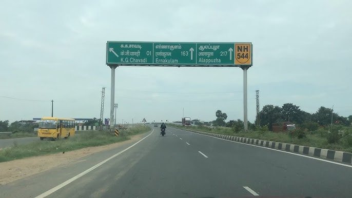
NH 544 Quick Facts
| Detail | Information |
| Starting point | Salem, Tamil Nadu (junction with NH 44) |
| Ending point | Edappally, Kochi, Kerala (junction with NH 66) |
| Total length | Approximately 340 km |
| State-wise split | Tamil Nadu: 194 km, Kerala: 146 km |
| Former name | NH 47 |
| Also known as | Salem-Kochi Highway |
| Maintained by | National Highways Authority of India (NHAI) |
| Distinct status | Kerala’s only fully four-lane national highway |
| Major towns linked | Erode, Tiruppur, Coimbatore, Palakkad, Thrissur |
| Airport access | Coimbatore International Airport, Cochin International Airport |
| Speed limit | 100 km/h (cars), 90 km/h (larger passenger vehicles), 80 km/h (goods vehicles) |
Where NH 544 Begins and Ends
NH 544 starts at Salem in Tamil Nadu, at its junction with NH 44, and runs southwest across the state before crossing into Kerala and terminating at Edappally in Kochi, where it meets NH 66. As a spur of NH 44 — India’s longest national highway — NH 544 essentially functions as a critical connector linking the north-south backbone highway to Kerala’s coastal economy and its major port city.
The Route Through Tamil Nadu
Leaving Salem, NH 544 passes through Sankagiri and Bhavani before reaching Chithode and Erode, a significant textile and commercial hub. Continuing southwest, the highway runs through Perundurai, Perumanallur, and Tiruppur — India’s knitwear manufacturing capital — before reaching Avinashi.
From Avinashi, the route continues through Karumathampatti before skirting Coimbatore via a dedicated bypass beginning at Neelambur, allowing through-traffic to avoid the city centre entirely. This bypass proves genuinely useful given Coimbatore’s status as one of Tamil Nadu’s largest industrial cities, and several key junctions here — including connections to NH 181, NH 81, NH 748, and NH 83 — link the highway to Karur, Pollachi, and other significant destinations.
Crossing Into Kerala
After Coimbatore, NH 544 continues toward Walayar and crosses into Kerala, reaching Palakkad, where it intersects NH 966 for onward connectivity to Kozhikode. From Palakkad, the highway continues through Thrissur before entering the greater Kochi metropolitan area and finally terminating at Edappally.
The stretch from Mannuthy in Thrissur district to Edappally in Kochi city runs almost completely four-lane along the Kochi bypass, representing some of the most developed highway infrastructure in the state.
Why This Highway Is Genuinely Unique in Kerala
This distinction is worth understanding clearly: NH 544 is the only national highway in Kerala built entirely to four-lane standard, including the notable Kuthiran Road Tunnel section. Given how much of Kerala’s highway network still involves narrower, more congested stretches passing through dense town centres, this makes NH 544 a standout in terms of both traffic capacity and driving comfort within the state.
This four-lane consistency also explains why the highway has become such a significant driver of commercial and real estate development along its length — businesses and residential projects have clustered around this reliable, high-capacity corridor in a way that’s less common along Kerala’s other national highways.
The Coimbatore-Kochi Stretch: India’s Busiest Freight Corridor
Worth specific attention: the portion of NH 544 between industrial Coimbatore and port city Kochi ranks among the busiest stretches in the entire Indian highway system. Most of this traffic consists of trucks carrying consumer goods, construction materials, and container lorries bound specifically for the Port of Kochi, alongside heavy passenger vehicle movement given the airports and cities this stretch connects.
This volume is precisely why the Edappally junction with NH 66 — where NH 544 terminates — is known as a particularly congested pinch point, and travellers planning to pass through this junction during peak hours should build in extra time accordingly.
Ongoing Widening: The Chengapalli-Walayar Stretch
NH 544 continues to see active infrastructure investment despite its already-developed status. The widening of the Chengapalli-Walayar stretch, part of the broader North-South and East-West Corridor project, has been underway in phases. The first phase, covering roughly 42.7 km from Chengapalli to Nilambur in Coimbatore, is being developed to six-lane standard, connecting to the already-widened Coimbatore bypass. A further 12-km segment from Madukkarai in Coimbatore to Walayar is being developed to four-lane standard.
This ongoing work means travellers on this specific stretch should expect some construction-related conditions even on an otherwise well-developed highway, at least until these phases fully complete.
Automated Traffic Enforcement on the Kerala Stretch
Worth knowing if you’re driving the Kerala portion specifically: the Kerala Road Safety Authority has completed installation of high-tech automatic traffic enforcement systems across the 98-km Edappally-Mannuthy stretch of NH 544, as part of an ₹8.5 crore project. This system includes 65 automatic enforcement points across 23 locations, using a combination of virtual sensors, motion detectors, inductive sensors, and high-resolution cameras capable of capturing number plates clearly. All data feeds to a central server at the deputy transport commissioner’s office.
This means this specific stretch carries considerably more consistent and technologically advanced enforcement than many other Indian highway sections — assume genuine monitoring rather than treating posted limits as loosely enforced suggestions.
Speed Limits and Challan Rules
Standard national highway limits apply — up to 100 km/h for cars, 90 km/h for larger passenger vehicles, and 80 km/h for goods vehicles on developed stretches. Given the highway’s largely four-lane, well-maintained condition, these speeds are genuinely achievable across most of the route, barring the ongoing construction zones near Chengapalli-Walayar and heavy traffic near major junctions like Edappally.
Overspeeding fines follow the standard Motor Vehicles Act framework, typically ₹1,000-₹4,000 depending on vehicle category, with Tamil Nadu and Kerala each setting their own specific rates. Given the automated enforcement system on the Edappally-Mannuthy stretch specifically, violations here are considerably more likely to be captured and processed than on less monitored sections elsewhere on the route.
FAQs
Q1. Why is NH 544 considered special within Kerala’s highway network?
It’s the only national highway in the state built entirely to four-lane standard, including the Kuthiran Road Tunnel section. Most other highways in Kerala involve mixed lane configurations, making this corridor notably more consistent and reliable for driving.
Q2. Should I expect heavy traffic on the Coimbatore-to-Kochi stretch?
Yes, genuinely — this portion ranks among India’s busiest freight corridors, carrying substantial truck and container traffic toward the Port of Kochi alongside regular passenger vehicles. Plan for potential congestion, particularly approaching the Edappally junction with NH 66.
Q3. Is automated traffic enforcement really active on this highway, or just planned?
It’s active and comprehensive on the Kerala stretch specifically — the Edappally-Mannuthy section has 65 automatic enforcement points using cameras and sensors, feeding directly to state transport authorities. Treat posted speed limits on this stretch as genuinely and consistently enforced.
Q4. Does NH 544 provide good airport access for travellers?
Yes — the highway runs close to both Coimbatore International Airport and Cochin International Airport (Nedumbassery), making it a practical route if your journey involves air travel connections at either end.