Here’s what’s important to know before the route details: the Tumakuru-to-Honnavar highway once carried the number NH 206, but that designation has been retired for this corridor since India’s 2010 highway renumbering. Today, this exact route — connecting Karnataka’s interior to its western coast via Shivamogga and the famous Jog Falls — is officially NH 69. The current NH 206 is an entirely unrelated highway located in Meghalaya. Locals and older maps still commonly call this Karnataka corridor by its historic name, “B.H. Road” (Bangalore-Honnavar Road), which reflects its origins as a state highway before national upgrade.
Given that this highway remains genuinely important and widely searched under its older name, here’s the complete, accurate picture of the actual Tumakuru-Honnavar route as it exists today.
Route Quick Facts (Historically NH 206, Now Part of NH 69)
| Detail | Information |
| Starting point | Tumakuru, Karnataka |
| Ending point | Honnavar, Karnataka (junction with NH 66) |
| Current designation | NH 69 (western portion) |
| Historical length (old NH 206) | Approximately 365 km |
| Historical name | B.H. Road (Bangalore-Honnavar Road) |
| Former status | State Highway 68 before national highway upgrade |
| Maintained by | National Highways Authority of India (NHAI) |
| Major towns linked | Tiptur, Arsikere, Kadur, Shivamogga, Sagara |
| Notable attraction | Jog Falls, near Sagara |
| Speed limit | 100 km/h (cars) on developed stretches; lower through hill and ghat sections |
Where This Route Actually Goes
The corridor starts at Tumakuru and runs northwest through Karnataka’s interior, passing through Tiptur, Arsikere, and Kadur before reaching Shivamogga (Shimoga), a significant district town. From Shivamogga, the route continues to Sagara — the gateway town for Jog Falls, one of India’s most impressive waterfalls — before descending through the Western Ghats and reaching Honnavar on the Arabian Sea coast, where it joins NH 66.
Under the current numbering, this section from Honnavar through Sagara, Shivamogga, and onward past Banavara falls under NH 69, which continues considerably further east beyond the old NH 206’s original terminus at Tumakuru, extending all the way to Chittoor in Andhra Pradesh — making NH 69 a much longer highway overall (roughly 732 km) than the historic Tumakuru-Honnavar corridor alone.
The Route Through Karnataka’s Interior to the Coast
Leaving Tumakuru, the road passes through Tiptur — known for its coconut cultivation — before reaching Arsikere and continuing to Kadur. This stretch runs through Karnataka’s agricultural heartland, characterized by relatively flat terrain and steady commercial traffic.
From Kadur, the route continues to Shivamogga, historically known as the “Gateway to Malnad,” a region famous for its coffee plantations and forested hill terrain. Continuing from Shivamogga, the road reaches Sagara before descending through increasingly hilly, forested terrain toward Honnavar on the coast.
Jog Falls: The Route’s Signature Attraction
This corridor’s most distinctive feature is its proximity to Jog Falls, one of India’s highest and most visually dramatic waterfalls, located near Sagara. This gives the route genuine tourism significance beyond its role as a commercial and connectivity corridor, drawing substantial visitor traffic particularly during and immediately after monsoon season, when the falls are at their most spectacular.
Ongoing Four-Laning Work
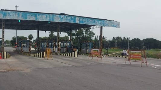
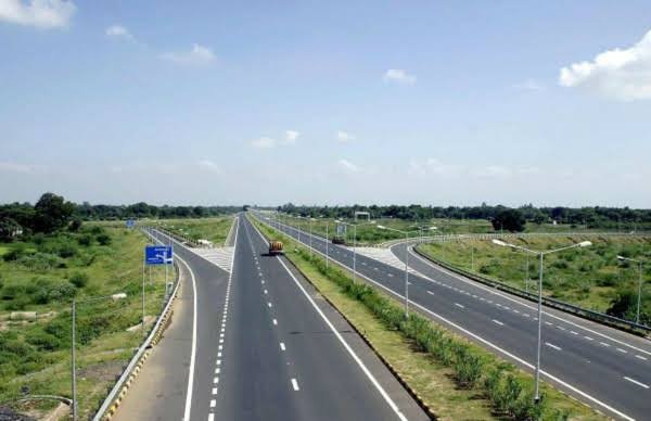
This corridor has seen sustained infrastructure investment over the years. The roughly 220-km Tumkur-Shivamogga section was approved for four-laning under the Hybrid Annuity Mode, divided into multiple project packages covering areas including Gubbi, Arasikere, Kadur, and Bhadravathi, with work designed to bypass villages and towns en route to improve overall travel speed and safety between Shivamogga and the Bengaluru region.
Further along, specific stretches — including a section within Sagar town limits — have seen targeted widening to four-lane divided carriageway standard, reflecting the piecemeal, section-by-section approach typical of highway development in this hillier western portion of the route.
Why This Highway Matters Economically
This corridor connects Karnataka’s interior agricultural and coffee-growing regions to its western coastline, supporting movement of goods between Malnad’s plantation economy and coastal trade access near Honnavar. It also serves as an important tourism artery, given both Jog Falls and the broader Malnad region’s appeal to travellers seeking hill and forest scenery distinct from Karnataka’s more commonly visited destinations.
Road Conditions: What to Actually Expect
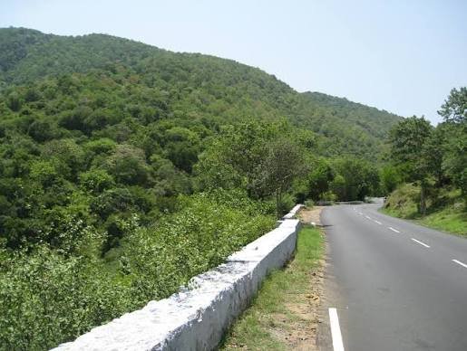
Road quality varies considerably along this route given its mixed terrain. The Tumakuru-to-Shivamogga stretch, benefiting from the ongoing four-laning project, offers increasingly modern highway conditions as sections complete. Beyond Shivamogga toward Sagara and Honnavar, expect more variable conditions given the hillier, forested terrain — narrower sections, sharper curves, and generally more demanding driving as the route descends toward the coast.
Speed Limits and Safety Notes
Standard national highway limits apply on developed stretches — up to 100 km/h for cars — but this drops considerably through the hill and ghat sections between Sagara and Honnavar, where terrain and road width naturally limit safe driving speeds regardless of posted maximums.
Challan Rules on This Route
Standard Motor Vehicles Act penalties apply throughout, since this corridor sits entirely within Karnataka, with overspeeding fines typically in the ₹1,000-₹4,000 range depending on vehicle category. Given the ongoing construction activity across various stretches, enforcement near active project zones often focuses on compliance with temporary speed restrictions around widening work, in addition to standard highway monitoring.
FAQs
Q1. Why can’t I find “NH 206” on current maps for this route?
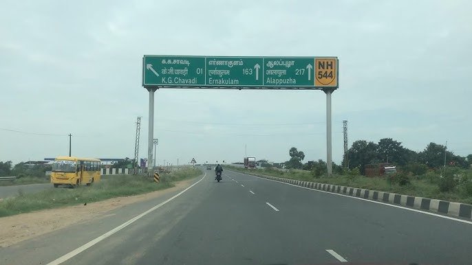
Because that designation was retired for this corridor during India’s 2010 highway renumbering. The route is now officially part of NH 69. Older maps, GPS systems, and local usage may still reference “NH 206,” which is why the discrepancy exists.
Q2. Is Jog Falls easily accessible from this highway?
Yes — Sagara, directly on the route, functions as the gateway town to Jog Falls, making it a straightforward stop for travellers rather than requiring a significant detour.
Q3. How far along is the four-laning work on the Tumakuru-Shivamogga stretch?
This has been an ongoing, multi-package project for several years, with different sections progressing at different rates. Checking current NHAI status for your specific travel segment is worthwhile rather than assuming uniform four-lane conditions across the entire stretch.
Q4. Which portion of this route requires the most cautious driving?
The Sagara-to-Honnavar stretch, given its hillier, forested terrain as the road descends toward the coast. Expect narrower sections and more curves compared to the flatter Tumakuru-Shivamogga portion, and adjust travel time expectations accordingly.