Few roads in India carry the historical weight of this corridor. Running from Makum in Assam’s Tinsukia district to Pangsau Pass on the India-Myanmar border, this route follows the famous Stilwell Road (also called the Ledo Road) — built during World War II as a lifeline supply route to China after Burma fell to Japanese forces. Today, the journey covers two separate highway designations: NH 315 for the Assam stretch to Lekhapani, and NH 153 for the continuation through Arunachal Pradesh to the border.
Here’s the complete, accurate picture of this historically significant route.
NH 315 Highway Quick Facts
| Detail | Information |
| Starting point | Makum, Tinsukia district, Assam |
| Ending point | Pangsau Pass, Indo-Myanmar border, Arunachal Pradesh |
| NH 315 stretch | Makum to Lekhapani, Assam — approximately 111 km (including connecting roads) |
| Continuing highway | NH 153, from Lekhapani/Jairampur through Nampong to Pangsau Pass |
| States covered | Assam, Arunachal Pradesh |
| Historical route | Part of the Stilwell Road (Ledo Road), built during World War II |
| Pass elevation | 1,136 m (3,727 ft), on the crest of the Patkai Hills |
| Border significance | Nampong Land Custom Station, Indo-Myanmar informal trade point |
Where This Route Begins and Ends
The journey starts at Makum in Assam’s Tinsukia district and follows NH 315 through Digboi and Ledo before reaching Lekhapani. Ledo holds particular historical significance as the original railhead where the Stilwell Road began construction. From Lekhapani, the route continues via connecting roads through Jairampur — marking the Assam-Arunachal Pradesh boundary and the start of the Inner Line Permit zone — before reaching Nampong and finally Pangsau Pass at the India-Myanmar border.
The Historic Stilwell Road
This corridor’s significance extends far beyond ordinary highway function. During World War II, after Burma fell to Japanese forces, American General Joseph “Vinegar Joe” Stilwell’s forces built this road specifically to establish a land supply route to isolated China. The Pangsau Pass, at the crest of the Patkai Hills, was the first major obstacle this ambitious engineering effort had to overcome.
Even earlier, the pass carried historical weight as the reputed 13th-century invasion route used by the Ahoms, a Shan tribe, into Assam — meaning this corridor has served as a strategic gateway between the Indian subcontinent and Southeast Asia for many centuries, long before the modern highway existed.
Nampong: A Genuine Border Trade Gateway
Nampong, sitting close to the pass in Arunachal Pradesh’s Changlang district, hosts the Nampong Land Custom Station, approved by the Government of India back in 1951. The actual distance from Nampong to the Pangsau Pass border pillar is just about 12 km, and this location has seen increasing informal trade activity in recent years, particularly following improvements to what was once the wartime Stilwell Road.
This border trade role has grown as part of India’s broader “Look East Policy” and engagement with regional trade frameworks, with continued government emphasis on developing proper infrastructure at this specific border trade point.
The Pangsau Pass International Festival
Beyond its trade and historical significance, this corridor is also known for the Pangsau Pass International Festival, held annually at Nampong. This festival serves as a genuine cross-cultural exchange platform between Northeast Indian tribes and neighbouring Myanmar communities, celebrating shared heritage and facilitating cultural and trade connections across this historic border crossing.
The Route Through Assam and Arunachal Pradesh
Leaving Makum, the highway passes through Digboi — notable as the site of India’s oldest oil refinery — before continuing to Ledo, the original starting point of the wartime Stilwell Road construction. From Ledo, the route reaches Lekhapani, where NH 315 effectively concludes and connecting roads carry travellers onward.
Crossing into Arunachal Pradesh at Jairampur marks entry into Inner Line Permit territory, meaning travel documentation requirements shift at this point. From Jairampur, the road continues to Nampong before the final climb to Pangsau Pass itself.
Permits and Border Access Considerations
Given this route’s proximity to an international border and its passage through Inner Line Permit territory starting at Jairampur, practical access requirements matter considerably here. Non-residents of northeastern states need an Inner Line Permit to travel into Arunachal Pradesh, and given Pangsau Pass’s direct border location, additional security considerations and permissions may apply for travel right up to the pass itself. These requirements should be confirmed and arranged well in advance, since border-area access rules can be more tightly managed than standard interstate travel.
Road Conditions Along This Historic Corridor
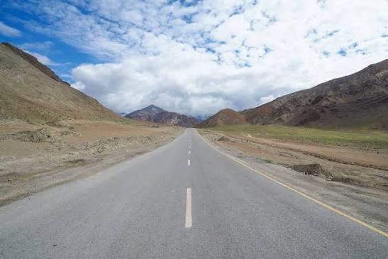
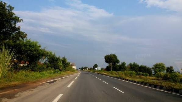
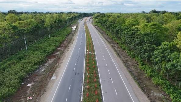
Given the corridor’s origins as a hastily built wartime military road, and its current function connecting remote border districts, expect variable road conditions rather than a uniformly modern highway experience. The Assam stretch through Digboi and Ledo tends to be more developed given the presence of established towns. Beyond Jairampur into Arunachal Pradesh’s hillier terrain, conditions become more variable, with the final approach to Pangsau Pass involving genuine mountain driving through the Patkai Hills.
Speed Limits and Practical Notes
Given the mixed terrain and historical, narrower road sections throughout much of this corridor, there’s no consistent high-speed stretch to reference. Safe travel depends on current road conditions and the specific segment you’re on, particularly through the hillier Arunachal Pradesh portion approaching the pass itself.
Challan and Compliance Notes
Standard Motor Vehicles Act frameworks apply within both Assam and Arunachal Pradesh, though the more relevant practical compliance concern on this specific route is permit documentation given its border-zone status, rather than routine traffic enforcement. Travelling without proper Inner Line Permit documentation, particularly beyond Jairampur, can result in far more serious complications than an ordinary traffic violation.
FAQs
Q1. Do I need special permits to travel this entire route from Makum to Pangsau Pass?
Yes — once you cross into Arunachal Pradesh at Jairampur, you enter Inner Line Permit territory, and given Pangsau Pass’s direct international border location, additional permissions may be required for the final approach. Arrange these well before your trip rather than assuming open access throughout.
Q2. Why does this road switch highway numbers partway through the journey?
NH 315 officially covers only the Makum-to-Lekhapani stretch in Assam. The continuation through Jairampur, Nampong, and to Pangsau Pass falls under NH 153 in Arunachal Pradesh. Despite the numbering change, it’s the same historic corridor — the Stilwell Road — throughout.
Q3. Is Pangsau Pass open for casual tourist visits, or is it strictly a border trade point?
Nampong and the broader area do welcome visitors, particularly around events like the Pangsau Pass International Festival, but given the pass’s direct international border status, don’t assume unrestricted access right up to the border itself without confirming current permissions and security protocols.
Q4. What’s the historical significance of Ledo specifically along this route?
Ledo was the original railhead where construction of the wartime Stilwell Road began, making it a genuinely significant historical marker for anyone interested in this corridor’s World War II heritage, distinct from its present-day function as a regional highway town.