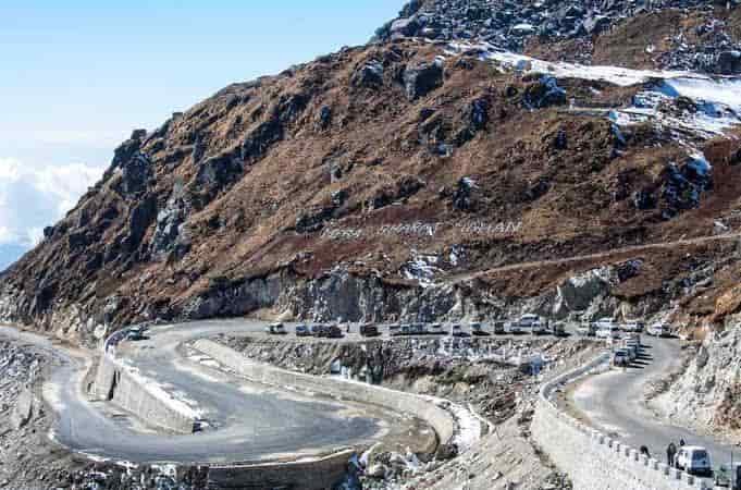
From Punjab’s agricultural plains near the Pakistan border all the way to a high-altitude trade pass on the Tibet frontier — NH 5 covers roughly 660 km of some of the most contrasting terrain any single Indian highway offers. It starts at Firozpur in Punjab and ends at Shipki La, a mountain pass in Himachal Pradesh sitting close to 3,930 metres, right where the Sutlej river enters India from Tibet.
If you’re researching this highway’s route, length, road conditions, or current rules, here’s the complete, accurate breakdown.
NH 5 Quick Facts
| Detail | Information |
| Starting point | Firozpur, Punjab |
| Ending point | Shipki La, Himachal Pradesh (Indo-China border) |
| Total length | Approximately 660.2 km (some sources list up to 729 km) |
| States/UT covered | 4 — Punjab, Haryana, Chandigarh, Himachal Pradesh |
| Formed from | Old NH 95, NH 21, and NH 22, merged in 2010 |
| Maintained by | National Highways Authority of India (NHAI) |
| Shipki La elevation | 3,930 m — a historic India-Tibet trade route |
| Notable stretch | Himalayan Expressway (Parwanoo-Solan), damaged by 2023 floods and landslides |
| Speed limit | 100 km/h (cars) on plains; significantly lower on hill sections |
| Major towns linked | Ludhiana, Chandigarh, Solan, Shimla, Rampur |
Where NH 5 Begins and Ends
NH 5 starts at Firozpur, an agricultural town in Punjab close to the India-Pakistan border, and terminates at Shipki La — a mountain pass on the India-Tibet (China) border where the Sutlej river crosses into Indian territory from the Tibetan plateau. This isn’t just a scenic endpoint; Shipki La has genuine historical significance as one of the traditional trade routes connecting India and Tibet, long before modern border tensions redefined how this frontier functions.
Between these two points, the highway transitions from Punjab’s flat, densely populated agricultural belt to some of Himachal Pradesh’s most dramatic mountain terrain, making it one of the more geographically striking highways on India’s northern frontier.
The Route Through Four Regions
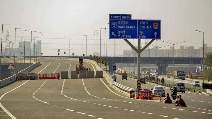
Leaving Firozpur, NH 5 runs through Moga, Jagraon, and Ludhiana — some of Punjab’s most economically active towns — before reaching Kharar and entering the Chandigarh-Mohali urban belt. This stretch is fast, flat, and heavily trafficked given the density of towns and cities it connects directly.
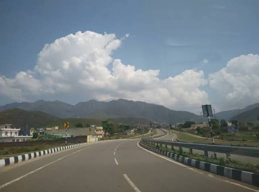
From Chandigarh, the highway passes through Panchkula in Haryana and Kalka before climbing into Himachal Pradesh via Parwanoo. This is where NH 5 fundamentally changes character — from here on, it’s a mountain highway, running through Solan, Shimla, Theog, Narkanda, Kumarsain, and Rampur Bushahr, broadly following the Sutlej river valley toward the Tibet border.
The final stretch continues through Chini before reaching Shipki La itself, a remote high-altitude section that sees considerably less traffic than the Punjab and Chandigarh portions, given both its terrain and its proximity to a sensitive international border.
The Himalayan Expressway and 2023 Flood Damage
Worth flagging specifically: the Parwanoo-Solan stretch of NH 5 includes what’s known as the Himalayan Expressway, a scenic but geologically sensitive section that was significantly damaged during the 2023 North India floods and landslides. Geologists studying the aftermath have pointed to highway construction itself as a factor that destabilized slopes in this area, leaving certain sections more vulnerable to future landslide events.
This matters practically for anyone planning to drive this stretch — road conditions here can shift meaningfully depending on recent monsoon activity, and checking current status before travel is more important on this section than on most other parts of NH 5.
Why Chandigarh to Shimla Is the Most Popular Stretch
If there’s one segment of NH 5 that most people actually drive for its own sake rather than as a through-route, it’s the Chandigarh-to-Shimla leg. This stretch is genuinely popular for weekend road trips, known for winding mountain roads and steadily improving views as the highway climbs from Chandigarh’s plains toward Shimla’s hill-station elevation. Along the way, travellers commonly stop at Pinjore Gardens near Chandigarh, Timber Trail in Parwanoo, and Hatu Peak near Narkanda.
Beyond Shimla, traffic thins out considerably, and the highway becomes a more remote, less touristic mountain road all the way to the Tibet border.
Speed Limits Across the Route
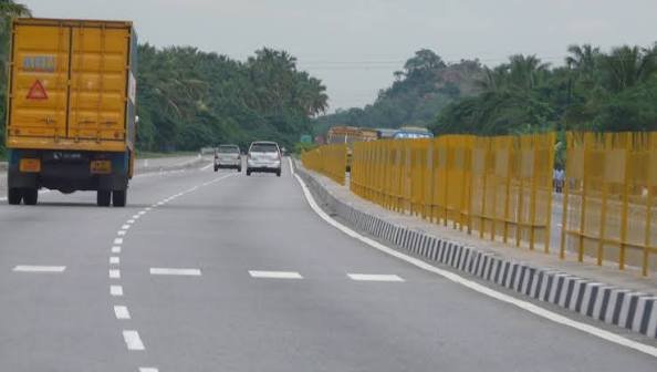
Standard national highway speed limits apply on the Punjab and Haryana plains stretch — up to 100 km/h for cars on open sections, with lower limits for heavier vehicles. Once NH 5 enters Himachal Pradesh’s hill terrain past Parwanoo, though, these figures become largely theoretical. Sharp hairpin bends, narrow sections, and steep gradients mean actual safe driving speeds drop considerably, and overtaking on curves or bridges is specifically discouraged given the terrain’s demands.
The stretch beyond Shimla toward Rampur and Shipki La involves genuinely remote mountain driving, where local road conditions — rather than any posted limit — should dictate actual speed.
Challan Rules on NH 5
Standard Motor Vehicles Act penalties apply across all four regions this highway passes through, with overspeeding fines typically falling in the ₹1,000-₹4,000 range depending on vehicle category. Punjab, Haryana, Chandigarh, and Himachal Pradesh each notify their own specific rates within the central framework, meaning the exact fine amount can shift as you cross from the plains into the hills.
Given the sensitive border location at the highway’s terminus, expect identity checks and permit requirements to become more relevant the closer you get to Shipki La — this isn’t an open-access tourist stretch in the way Shimla or Narkanda are, and travel restrictions near the border area should be checked in advance rather than assumed.
FAQs
Q1. Is the Parwanoo-Solan stretch of NH 5 currently safe to drive after the 2023 flood damage?
Significant repair work has taken place since the 2023 floods, but this remains a geologically sensitive section prone to landslide risk, particularly during monsoon season. Check current road status specifically for this stretch before travel rather than assuming full restoration.
Q2. Can tourists drive all the way to Shipki La, or is it a restricted border area?
Shipki La sits directly on the India-China border and functions as a sensitive frontier zone. Access beyond certain points typically requires permits and is subject to security considerations that can change based on current border conditions — this isn’t a casual sightseeing destination like the Shimla or Narkanda stretches of the highway.
Q3. Why do length figures for NH 5 range from about 660 km to over 700 km?
The variation stems from how certain realigned or bypass sections are measured. The more consistently cited figure, based on NHAI-linked data, is approximately 660.2 km — a reasonable reference point if you need a single number.
Q4. What’s the best stretch of NH 5 for a weekend road trip without needing special permits?
The Chandigarh-to-Shimla leg is the most popular and accessible section, offering scenic mountain driving, established tourist stops like Pinjore Gardens and Timber Trail, and no border-related restrictions — making it a far more practical weekend option than attempting the full route to Shipki La.