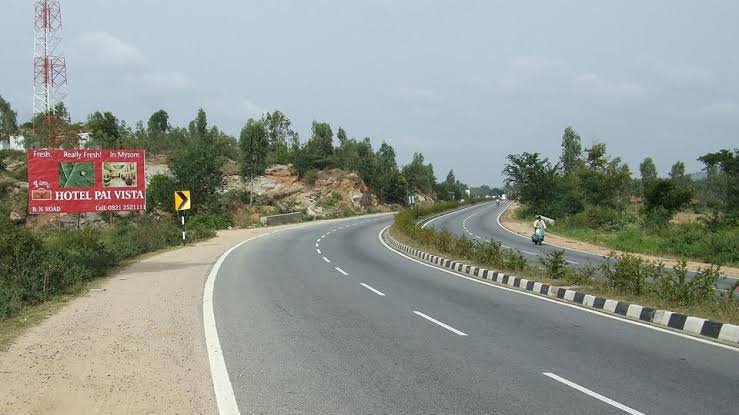
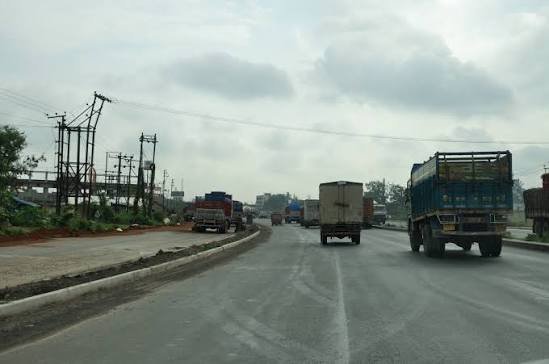
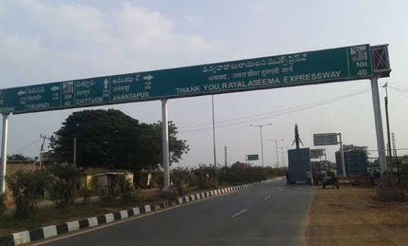
A relatively short highway by Indian standards, but arguably one of the most strategically vital — NH 10 is the primary lifeline connecting West Bengal’s plains to Sikkim’s capital, and by extension, to one of India’s few open trade posts with China at Nathu La. At just 174 km, it’s a fraction of the length of highways like NH 44 or NH 48, yet it carries outsized importance for an entire state’s economy and connectivity.
One clarification worth making upfront: NH 10 itself officially terminates at Gangtok. Reaching Nathu La beyond that requires continuing on NH 310, a separate spur highway connecting Gangtok to the pass. Here’s the complete, accurate picture of both.
NH 10 Quick Facts
| Detail | Information |
| Starting point | Phulbari (Indo-Bangladesh border area), West Bengal, via Siliguri |
| Ending point | Gangtok, Sikkim |
| Total length (NH 10) | Approximately 174 km |
| Siliguri to Gangtok distance | Roughly 115 km |
| Onward to Nathu La | Additional ~87 km via NH 310 (separate highway) |
| States covered | 2 — West Bengal, Sikkim |
| Former name | NH 31A |
| Maintained by | NHIDCL (Rangpo-Ranipool stretch); NHAI/state PWD elsewhere |
| Speed limit | 100 km/h theoretical max; considerably lower on hill sections |
| Known local name | Considered the economic and transport lifeline of Sikkim |
Where NH 10 Begins and Ends
NH 10 starts near Phulbari, close to the Indo-Bangladesh border, and runs through Siliguri — the major commercial gateway city for India’s entire northeast — before climbing into the hills toward Gangtok, Sikkim’s capital. Most travellers and businesses treat Siliguri as the practical starting point of their journey, since that’s where the highway transitions from flat plains driving into the mountain stretch that defines the rest of the route.
The official highway designation ends at Gangtok, at its junction with NH 310. If your destination is specifically Nathu La — the historic pass and trade post on the India-China border — you’ll continue on NH 310 for roughly another 87 km beyond Gangtok, a separate but connected highway rather than a continuation of NH 10 itself.
The Route: Plains to Himalayan Capital
Leaving Siliguri, NH 10 follows the Teesta River corridor, passing near Sevoke before entering the hills. This stretch through the Teesta valley is genuinely one of the more scenic drives in eastern India, but it’s also the section most prone to disruption — heavy monsoon rainfall regularly triggers landslides along this corridor, given the steep, unstable terrain the highway cuts through.
The highway enters Sikkim at Melli Bazaar, continuing through Singtam before reaching Ranipool and finally Gangtok. Along this stretch, travellers pass through some of Sikkim’s most visited areas, with Kalimpong sitting just off the main route as a popular hill-station detour.
Why This Highway Sees Frequent Closures
This is worth addressing directly rather than glossing over, because it genuinely affects trip planning: NH 10 is regularly subject to temporary closures, particularly during monsoon season. As recently as July 2026, NHIDCL suspended traffic for three days on the Rangpo-Ranipool stretch specifically at the landslide-prone 20th Mile (Bardang) section, around Km 60.180, to carry out emergency slope stabilization work following repeated landslide-related disruptions.
This isn’t an unusual, one-off event — it reflects a recurring pattern for this highway given the terrain it passes through. Anyone planning to travel NH 10, especially between June and September, should check current road status through NHIDCL or Sikkim state government channels before departure, since disruptions here can happen with limited notice and typically affect all vehicle categories equally.
The Onward Route to Nathu La
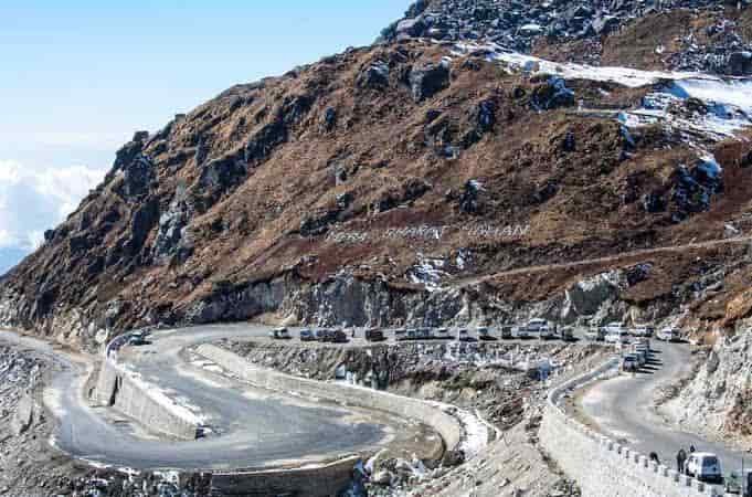
Beyond Gangtok, NH 310 continues to Nathu La, a historic Himalayan pass that reopened as a limited trade and pilgrimage route with China in the 2000s after decades of closure. This stretch involves genuine high-altitude driving, and altitude sickness is a real consideration for visitors heading to Nathu La or the nearby Tsomgo Lake — travellers are generally advised to consult a doctor and carry appropriate precautions before making this leg of the journey, particularly if arriving from lower elevations without acclimatization time.
Access to Nathu La itself is also permit-restricted given its border location, and this needs to be arranged separately from simply driving NH 10 to Gangtok — it isn’t an open-access tourist stretch in the way the Siliguri-Gangtok portion is.
Speed Limits on NH 10
Standard national highway limits technically allow up to 100 km/h for cars, but this figure has almost no practical relevance once the highway leaves the Siliguri plains and enters hill terrain. The winding stretch through the Teesta valley and into Sikkim involves sharp curves and steep gradients that make sustained high-speed driving both impractical and genuinely unsafe.
Local guidance consistently emphasizes adhering strictly to posted limits on the hill sections and avoiding overtaking on the winding stretches — this is a highway where road discipline matters considerably more than the specific numeric limit.
Challan Rules and Practical Considerations
Standard Motor Vehicles Act fine structures apply in both West Bengal and Sikkim, with overspeeding penalties generally in the ₹1,000-₹4,000 range depending on vehicle category, with each state setting its own specific rates within that framework.
Given how frequently this highway experiences weather and landslide-related disruptions, the more practical compliance concern for most travellers isn’t speeding — it’s respecting temporary closure orders. NH 10 closures are typically enforced under the Control of National Highways (Land and Traffic) Act, and attempting to bypass an active closure during emergency repair work isn’t just risky, it can result in penalties beyond a standard traffic violation given the safety concerns involved.
FAQs
Q1. Is NH 10 the same road that goes all the way to Nathu La?
Not officially. NH 10 terminates at Gangtok. The continuation to Nathu La is a separate highway, NH 310, running about 87 km further. Both are commonly referred to together as “the road to Nathu La,” but they’re distinct designations.
Q2. How often does NH 10 get closed due to landslides?
Fairly regularly during monsoon season, roughly June through September, given the unstable terrain along the Teesta River corridor. Closures can happen with limited advance notice, so checking current status through NHIDCL or Sikkim government channels immediately before travel is genuinely important rather than optional.
Q3. Do I need a permit to drive from Siliguri to Gangtok?
No special permit is needed for Indian nationals travelling to Gangtok itself. However, if your plans extend to Nathu La or nearby restricted areas like Tsomgo Lake, you’ll need separate permits arranged through Sikkim tourism or relevant border authorities before continuing beyond Gangtok.
Q4. What should I know about altitude sickness before heading toward Nathu La?
Nathu La sits at a considerably higher elevation than Gangtok, and altitude sickness is a genuine risk for visitors ascending quickly without acclimatization. It’s worth consulting a doctor beforehand, especially if you have any pre-existing health conditions, and carrying appropriate precautions rather than treating the altitude gain as a minor detail of the trip.