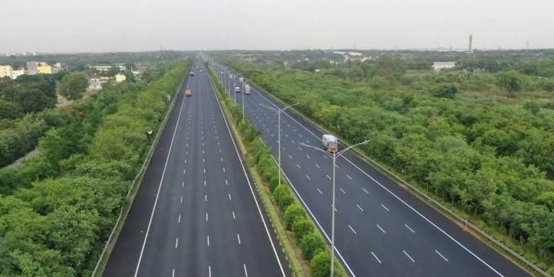
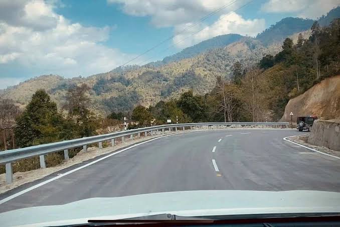
Two of India’s oldest and most culturally significant cities, joined by a highway that essentially traces the entire eastern coastline. NH 16 — once known as NH 5, and part of the Golden Quadrilateral — runs roughly 1,764 km from near Kolkata down to Chennai, passing through Odisha and Andhra Pradesh along the way. Unlike inland corridors that cut through the Deccan plateau, this highway hugs the coast for most of its length, making it as much a route through India’s port economy as a passenger road.
If you’re looking for the exact route, verified length, and current details on NH 16, here’s the complete picture.
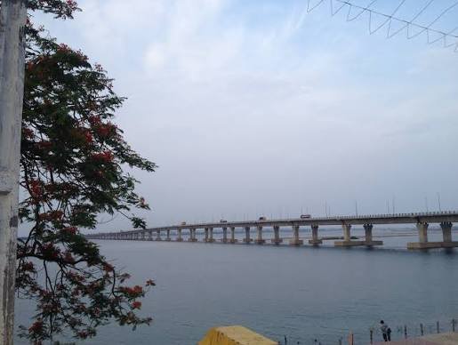
NH 16 Quick Facts
| Detail | Information |
| Starting point | Dankuni, near Kolkata, West Bengal |
| Ending point | Chennai, Tamil Nadu (junction with NH 48) |
| Total length | Approximately 1,764 km |
| States covered | 4 — West Bengal, Odisha, Andhra Pradesh, Tamil Nadu |
| Former name | NH 5 |
| Also known as | Kolkata-Chennai Highway, Grand Northern Trunk Road |
| Part of | Golden Quadrilateral (eastern arm) |
| Maintained by | National Highways Authority of India (NHAI) |
| Highway type | Largely 4-lane and 6-lane, well-developed as part of GQ upgrades |
| Major cities linked | Kharagpur, Bhubaneswar, Visakhapatnam, Vijayawada, Nellore |
Start and End Points Explained
NH 16 technically begins at Dankuni, a town just outside Kolkata rather than the city centre itself, and terminates at a junction with NH 48 near Chennai. This distinction matters if you’re planning navigation — searching for “Kolkata” as your literal start point can lead to confusion since the highway’s official terminus sits on Kolkata’s outskirts, not downtown.
At the southern end, NH 16 doesn’t terminate inside Chennai proper either — it merges into NH 48 at the city’s edge, which is standard practice for highways approaching major metros to keep through-traffic away from congested city centres.
The Coastal Route, State by State
From Dankuni, NH 16 runs through West Bengal via Kolaghat and Kharagpur before entering Odisha. This West Bengal stretch is relatively short — around 111 km — but connects into some of the state’s busiest industrial corridors near Kharagpur.
Odisha carries a substantial portion of the route, roughly 488 km, passing through Balasore, Bhadrak, Cuttack, Bhubaneswar, and Brahmapur. The Bhubaneswar stretch in particular has seen significant highway upgrades given the city’s growth as an IT and administrative hub.
Andhra Pradesh holds the longest single-state stretch of NH 16 — over 1,000 km — running through Srikakulam, Visakhapatnam, Rajahmundry, Eluru, Vijayawada, Guntur, Ongole, and Nellore. This is genuinely the backbone of the highway; more than half its total length sits within this one state, reflecting how central Andhra Pradesh’s coastline is to the entire corridor.
The final stretch through Tamil Nadu is comparatively short, entering near Gummidipundi and reaching Chennai’s outskirts within about 45 km.
Why the Andhra Pradesh Stretch Matters So Much
It’s worth dwelling on this because it changes how you should think about NH 16 — this isn’t really a “four equal states” highway. Andhra Pradesh alone accounts for close to 60% of the total distance, and that stretch happens to connect the state’s most important economic centres: the port city of Visakhapatnam, the temple town of Rajahmundry, and the twin commercial hubs of Vijayawada and Guntur.
For anyone tracking real estate or logistics activity along this highway, the Visakhapatnam-Vijayawada segment is where most of the recent commercial development has concentrated, driven by port access and the broader Andhra Pradesh government’s push toward coastal infrastructure investment.
Ports, Trade, and Why This Highway Exists
NH 16’s coastal alignment isn’t accidental — it was built to link major ports along India’s eastern seaboard, including Kolkata, Visakhapatnam, and Chennai, all sitting directly on or near the route. That makes it one of India’s most important corridors for container and export traffic, distinct from inland highways like NH 44 or NH 48, which are built more around metro-to-metro connectivity.
Fishing, aquaculture, and agricultural trade along the Andhra and Odisha coasts also lean heavily on this highway for moving goods inland and toward port terminals.
Current Road Conditions
As part of the original Golden Quadrilateral project, NH 16 is generally one of India’s better-maintained long-distance highways. Most of the route is four-lane or six-lane, with the Odisha and Andhra Pradesh stretches having received continued upgrades over the past decade. The West Bengal and Tamil Nadu portions, being shorter, are also well-developed given their proximity to major metros.
Toll plazas are spread across the route at regular intervals, with charges varying by state and vehicle type. Given the highway’s coastal path, occasional monsoon and cyclone-related disruptions do occur, particularly along the Odisha and northern Andhra Pradesh stretches, so checking weather advisories during the June-to-October season is worth the extra minute before a long drive.
FAQs
Q1. Does NH 16 actually pass through Kolkata city, or just near it?
Just near it. The official starting point is Dankuni, on Kolkata’s outskirts, not the city centre. If you’re planning a trip starting from inside Kolkata, you’ll need to connect to the highway via local roads first.
Q2. Why does Andhra Pradesh account for such a large share of NH 16’s length?
Simply because of geography — Andhra Pradesh has the longest coastline among the four states this highway touches, and NH 16 largely follows the eastern coastline rather than cutting inland. That’s why over half the highway’s total distance sits within this one state.
Q3. Is NH 16 prone to weather-related closures?
Sections along the Odisha and northern Andhra Pradesh coast can see disruptions during cyclone season, roughly June through October. It’s not a constant risk, but it’s worth checking regional weather advisories before long drives during monsoon months.
Q4. How does NH 16 connect with NH 44 or NH 48 for longer multi-leg trips?
NH 16 intersects NH 44 near Vijayawada and merges into NH 48 at its southern end near Chennai. This makes it possible to combine routes — for instance, travelling NH 16 along the coast and then switching to NH 44 inland — without needing to backtrack significantly.