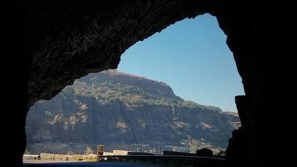
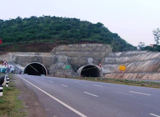
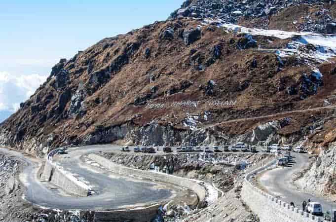
Few Indian highways can claim to touch the Arabian Sea as often as NH 66 does. Running 1,640 km along India’s western coastline from Panvel, near Mumbai, down to Kanyakumari at the country’s southern tip, this highway parallels the Western Ghats for almost its entire length, weaving through five states and some of India’s most scenic coastal stretches.
NH 66 Quick Facts
| Detail | Information |
| Starting point | Panvel, Maharashtra (junction with NH 48) |
| Ending point | Kanyakumari, Tamil Nadu (junction with NH 44) |
| Total length | Approximately 1,640 km |
| States covered | 5 — Maharashtra, Goa, Karnataka, Kerala, Tamil Nadu |
| Former name | NH 17 (part of old NH 47) |
| Maintained by | National Highways Authority of India (NHAI) |
| Highway type | Mostly 4-lane, with several 6-lane sections; ongoing widening in Kerala |
| Major ports linked | Ratnagiri, Mormugao, New Mangalore, Kochi, Vizhinjam |
| Speed limit | 100 km/h (cars) on developed highway stretches |
| Major cities linked | Ratnagiri, Panaji, Karwar, Mangaluru, Kozhikode, Kochi, Kollam, Thiruvananthapuram |
Where the Highway Starts and Ends
NH 66 begins at Panvel, a satellite city just east of Mumbai, at its junction with NH 48. From there, it runs almost due south, terminating at Kanyakumari — the southernmost tip of the Indian mainland — where it meets NH 44. It’s a fitting bookend: NH 66 essentially completes the western half of India’s coastal highway loop, connecting to two of the country’s other major highways at either end.
Unlike highways that cut inland, NH 66 largely hugs the coastline, touching the Arabian Sea directly at several points — Maravanthe in Karnataka, and Thalassery and Alappuzha in Kerala — where the road runs close enough to the shore that the sea is visible from the carriageway.
The Route Through Five States
Leaving Panvel, NH 66 runs through Maharashtra’s Konkan coast, passing Pen, Mahad, Khed, Chiplun, Ratnagiri, and Sawantwadi — a stretch known for dramatic hill-and-coast scenery, though also for some of the highway’s more challenging ghat sections.
Entering Goa, the highway runs a relatively short but heavily trafficked stretch through Panaji and Margao, an area that sees significant tourist and commercial traffic year-round given Goa’s status as a travel destination.
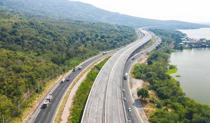
In Karnataka, NH 66 continues through Karwar, Ankola, Kumta, Honnavar, Bhatkal, Kundapura, Udupi, and Mangaluru — this state carries a substantial portion of the highway, close to 300 km, and includes some of the most visually striking coastal driving in the country, particularly the Maravanthe stretch where the road runs between the sea on one side and a backwater lake on the other.
Kerala holds the longest single-state stretch of NH 66 at roughly 678 km, running through Kasaragod, Kannur, Kozhikode, Malappuram, Kochi, Alappuzha, Kollam, and Thiruvananthapuram — essentially the entire length of the state.
The final leg through Tamil Nadu is short, around 56 km, passing Nagercoil before reaching Kanyakumari.
The Kerala Widening Project: Where Things Stand
This is worth flagging specifically because it’s directly relevant if you’re planning to travel this route soon. NHAI has been widening roughly 643 km of NH 66 across Kerala into a six-lane, signal-free corridor with dedicated service roads — a project that’s been running in phases for several years.
As of early 2026, the majority of this work is complete, with around 450 km already finished and the remaining sections under accelerated construction after the state’s Public Works Minister flagged delays from under-resourced contractors. The workforce on pending stretches has since been increased, and completion has been targeted for January 2026, though some estimates point to a possible extension into May 2026 depending on weather and residual repair work. If you’re planning a Kerala road trip on NH 66 in the near term, it’s worth checking current status for your specific stretch rather than assuming the whole corridor is uniformly six-lane yet.
Why This Highway Matters Beyond Tourism
NH 66 isn’t just a scenic drive — it’s a critical freight and port-access corridor for India’s entire west coast. It connects Ratnagiri Port, Goa’s Mormugao Port, New Mangalore Port, Kochi Port, and the newer Vizhinjam International Seaport near Thiruvananthapuram, making it central to how goods move between coastal Maharashtra, Karnataka, and Kerala.
It also supports significant tourism traffic — Goa’s beaches, Karnataka’s coastal towns, and Kerala’s backwaters all sit directly on or near this route, meaning traffic patterns shift noticeably during peak tourist seasons compared to the rest of the year.
Road Conditions and What to Expect
Road quality varies meaningfully across the five states. Maharashtra’s Konkan stretch includes some genuinely demanding ghat sections with sharp curves, particularly around Mahad and Khed — worth approaching with caution rather than assuming highway speeds throughout. Goa and Karnataka’s sections are generally well-maintained four-lane roads. Kerala, as covered above, is mid-transition to six-lane standard, so conditions differ significantly section by section depending on which part of the widening project has been completed.
Coastal weather is also a factor — monsoon season, roughly June through September, brings heavy rainfall across the entire western coast, and landslide risk increases specifically in the Maharashtra ghat sections during this period.
FAQs
Q1. Is the entire Kerala stretch of NH 66 now six-lane?
Not entirely, as of early 2026. Most of the 643-km widening project is complete, but some sections remain under construction, with full completion targeted for January to May 2026 depending on the source. Check current status for your specific stretch before travel.
Q2. Which part of NH 66 has the most difficult driving conditions?
The Maharashtra Konkan stretch, particularly around Mahad, Poladpur, and Khed, involves ghat sections with sharp turns and elevation changes. This portion demands more caution and lower speeds than the flatter coastal sections further south.
Q3. Does NH 66 pass directly through Goa’s tourist beach areas?
It runs through Panaji and Margao, Goa’s major towns, but doesn’t cut directly through the state’s most popular beach strips — those are typically accessed via connecting roads off the main highway.
Q4. Is monsoon season a bad time to drive NH 66?
It’s not off-limits, but expect heavier rainfall, reduced visibility, and increased landslide risk in the Maharashtra and Karnataka ghat sections between June and September. If your route includes those stretches specifically, checking recent road advisories before departure is a good idea.