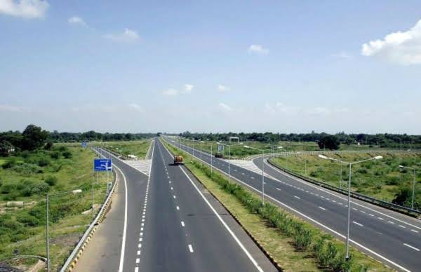
Coastal port to inland industrial hub — NH 73 covers roughly 317 km entirely within Karnataka, connecting Mangaluru’s Arabian Sea coastline to Tumakuru’s manufacturing base. It’s a compact highway by national standards, but it plays a genuinely important role as a coast-to-interior freight corridor, cutting straight through the Western Ghats along the way.
NH 73 Quick Facts
| Detail | Information |
| Starting point | Mangaluru, Karnataka (junction with NH 66) |
| Ending point | Tumakuru, Karnataka (junction with NH 48) |
| Total length | Approximately 317 km |
| States covered | 1 — entirely within Karnataka |
| Formed from | Old NH 48, NH 234, and NH 206, merged in 2010 |
| Maintained by | National Highways Authority of India (NHAI) |
| Major towns linked | Bantwal, Belur, Halebeedu, Arasikere, Tiptur |
| Known challenge | Charmady Ghat section — narrow, landslide-prone |
| Speed limit | 100 km/h theoretical maximum; significantly lower through ghat sections |
Where NH 73 Begins and Ends
NH 73 starts at Mangaluru, one of Karnataka’s major port cities on the Arabian Sea coast, and runs east through the Western Ghats before descending into central Karnataka and terminating at Tumakuru. Unlike many highways in this series, NH 73 stays entirely within a single state — a fairly compact, focused corridor rather than a long interstate route.
Mangaluru’s significance as a port matters considerably here: the city handles substantial volumes of petroleum products, fertilizers, seafood, and other export-import commodities, and NH 73 serves as one of the primary overland links connecting this coastal trade activity to Karnataka’s interior markets.
The Route Through the Western Ghats
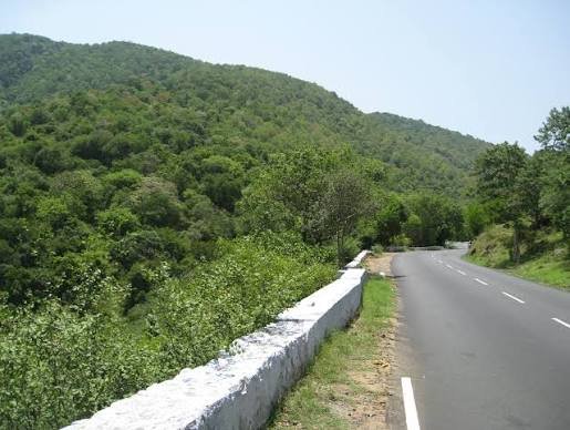
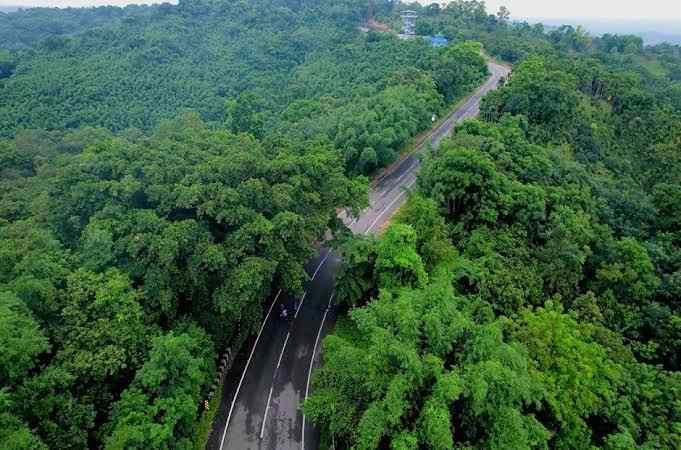
Leaving Mangaluru, NH 73 passes through Bantwal and Beltangady before reaching Ujire and entering the Charmady Ghat section — a genuinely demanding stretch through the Western Ghats. Continuing east, the highway passes through Kottigehara and Mudigere before reaching Belur and Halebeedu, both significant historical towns known for their Hoysala-era temple architecture.
From here, NH 73 continues through Javagal, Banavara, and Arasikere before reaching Tiptur and Gubbi, and finally terminating at Tumakuru.
The Charmady Ghat: This Highway’s Defining Challenge
This is worth addressing specifically because it’s genuinely the most important thing to know before driving this route. Despite carrying national highway status, the Charmady Ghat section is narrow and has historically been prone to landslips and fallen trees, particularly during monsoon season. This isn’t a minor caveat — it’s a defining characteristic of NH 73 that shapes how the entire corridor should be approached.
Anyone planning to drive this stretch, especially between June and September, should check current road status before departure and build in significant flexibility, since closures and delays in this section are a recurring, well-documented issue rather than an occasional inconvenience.
Belur and Halebeedu: A Heritage Detour Worth Taking
Beyond its role as a freight and passenger corridor, NH 73 passes directly through Belur and Halebeedu — two towns renowned for their intricately carved Hoysala-era temples, among the finest examples of medieval South Indian temple architecture. For travellers with time to spare, these stops offer genuine heritage value distinct from the highway’s primarily commercial character elsewhere along the route.
Ongoing Widening Work
NH 73 has seen targeted infrastructure investment in recent years to address its narrower, more challenging sections. In January 2024, the Union Minister for Road Transport and Highways approved ₹343.74 crore for the expansion of a section within the Mangaluru-Mudigere-Tumakuru stretch, covering roughly 10.8 km, aimed at upgrading the road to a two-lane configuration with paved shoulders. This kind of incremental, section-by-section upgrade work reflects the highway’s overall development pattern — improvements happening gradually rather than as one comprehensive widening project.
Why This Highway Matters Economically
NH 73 connects Mangaluru’s port-driven trade economy to central Karnataka’s agricultural and industrial belt, passing through districts that depend significantly on this route for moving plantation produce, agricultural goods, and increasingly, industrial supplies. Farmers along the corridor use this highway to reach larger markets, while local industries rely on it for logistics and supply chain movement between the coast and the interior.
Real estate and commercial activity along several stretches of NH 73 has also seen growth tied to improved connectivity, particularly as widening projects continue to make specific sections more reliable for freight movement.
Road Conditions Beyond Charmady
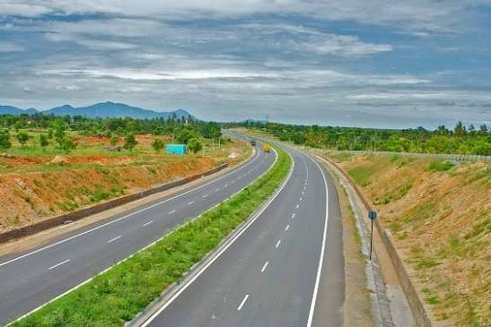
Outside the ghat section, road conditions on NH 73 vary but are generally more manageable than the Charmady stretch suggests for the highway overall. The approach from Mangaluru through Bantwal is typically smoother given proximity to the city, while the eastern stretch toward Tumakuru through Arasikere and Tiptur tends to run through flatter, more open terrain with correspondingly easier driving conditions.
Speed Limits and Safety Notes
Standard national highway limits technically allow up to 100 km/h for cars, but this figure has essentially no relevance through the Charmady Ghat section, where narrow, winding roads demand considerably reduced speeds regardless of posted limits. Elsewhere along the route, particularly the flatter central Karnataka stretch, more consistent speeds are achievable, though general highway caution around curves and narrow sections still applies throughout.
Challan Rules on NH 73
Standard Motor Vehicles Act penalties apply throughout, since the highway runs entirely within Karnataka, with overspeeding fines typically in the ₹1,000-₹4,000 range depending on vehicle category. Given the genuine safety concerns in the Charmady Ghat section specifically, local enforcement attention in this stretch often extends beyond straightforward speed monitoring to include broader safe-driving compliance, given the section’s landslide and obstruction risk.
FAQs
Q1. Is the Charmady Ghat section of NH 73 currently safe to drive, or should I take an alternate route?
It’s passable under normal conditions but genuinely prone to landslips and fallen trees, particularly during monsoon season. Check current road status before travel, especially between June and September, and build extra time into your journey through this specific stretch regardless of season.
Q2. Can I visit Belur and Halebeedu as a day trip detour from NH 73?
Yes — both towns sit directly on the highway route, making them straightforward stops rather than significant detours. Their Hoysala temple architecture is genuinely worth the pause if you have flexibility in your schedule.
Q3. Why is NH 73 narrower than many other national highways despite its official status?
Portions of the route, particularly through the Western Ghats, haven’t yet received full widening treatment, though targeted projects — like the 2024-approved expansion in the Mangaluru-Mudigere-Tumakuru stretch — are gradually addressing this. Expect a genuine mix of narrower older sections and improving newer ones depending on where you are on the route.
Q4. Is NH 73 a good route for transporting goods between Mangaluru port and Karnataka’s interior?
Yes, it’s specifically valued for this purpose, connecting coastal trade activity to inland markets. That said, given the Charmady Ghat’s weather-related risks, freight operators should factor in potential delays during monsoon season rather than assuming consistent year-round transit times.