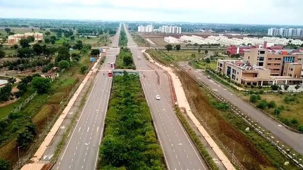
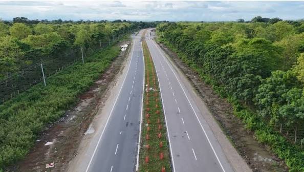
Three states, one relatively compact highway — NH 42 covers roughly 401 km connecting Joladarasi in Karnataka to Krishnagiri in Tamil Nadu, cutting diagonally through Andhra Pradesh’s Rayalaseema region in between. Unlike many longer highways in this series, NH 42 both starts and ends at junctions with NH 44, functioning genuinely as a connecting spur between two points on India’s longest highway rather than a standalone long-distance corridor.
Here’s the complete, accurate breakdown of this route, its length, and current conditions.
NH 42 Quick Facts
| Detail | Information |
| Starting point | Joladarasi, Bellary district, Karnataka (junction with NH 44) |
| Ending point | Krishnagiri, Tamil Nadu (junction with NH 44) |
| Total length | Approximately 401 km (some sources cite 361-420 km) |
| States covered | 3 — Karnataka, Andhra Pradesh, Tamil Nadu |
| Formed from | Old NH 205 and NH 219, merged |
| Maintained by | National Highways Authority of India (NHAI) |
| Major towns linked | Anantapur, Kadiri, Madanapalle, Kuppam |
| Speed limit | 100 km/h (cars), 90 km/h (larger passenger vehicles), 80 km/h (goods vehicles) |
Where NH 42 Begins and Ends
NH 42 starts at Joladarasi, a location just north of Anantapur in Karnataka’s Bellary district, at its junction with NH 44. It runs south through Andhra Pradesh before crossing into Tamil Nadu and terminating at Krishnagiri, again at a junction with NH 44. This is a distinctive structural feature worth noting — both ends of NH 42 connect back to the same larger highway, meaning it essentially functions as a shortcut or alternate diagonal route between two points on NH 44’s longer north-south path, rather than a route with genuinely independent endpoints.
For anyone travelling between Karnataka’s Bellary region and Tamil Nadu’s Krishnagiri district, NH 42 offers a more direct path than following NH 44’s own routing through Bengaluru.
The Route Through Three States
Leaving Joladarasi in Karnataka, NH 42 crosses almost immediately into Andhra Pradesh, reaching Anantapur — a significant district town in the Rayalaseema region. From here, the highway continues through Kadiri and Madanapalle before reaching Punganur and Palamaner.
Continuing south, the highway passes through Venkatagirikota and Kuppam, the last major Andhra Pradesh town before the Tamil Nadu border. Once in Tamil Nadu, NH 42 covers a relatively short final stretch before reaching its terminus at Krishnagiri.
The vast majority of NH 42’s length sits within Andhra Pradesh’s Rayalaseema region, making this highway — much like NH 40 covered elsewhere in this series — primarily a Rayalaseema corridor that extends into neighbouring states at both ends.
A Rayalaseema Connector With Regional Significance
NH 42 shares meaningful overlap in purpose with NH 40, both cutting through Andhra Pradesh’s Rayalaseema districts and both terminating at junctions with NH 44. Together, these highways form part of a broader network supporting connectivity for a region historically seen as less developed compared to Andhra Pradesh’s coastal belt.
Towns like Anantapur, Kadiri, and Madanapalle along this route depend significantly on highway access for moving agricultural produce and increasingly, small-scale industrial goods, toward larger markets in both Karnataka and Tamil Nadu.
Krishnagiri: A Genuine Multi-Highway Junction
The southern terminus at Krishnagiri deserves particular mention because this town functions as a significant road junction in Tamil Nadu, sitting at the intersection of several important highways beyond just NH 42 and NH 44, including connections toward Vellore and Chennai via other numbered routes. For travellers using NH 42 to reach Tamil Nadu from Karnataka or Andhra Pradesh, Krishnagiri often serves as a natural staging point before continuing onward via these other connecting highways.
Road Conditions Along NH 42
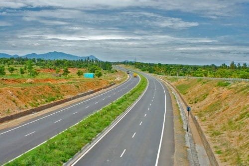
Given its role as a connecting corridor rather than a headline national route, NH 42 has historically received less consistent four-laning investment compared to some of the more prominent highways in this region, though improvement work continues in phases as part of broader Andhra Pradesh and Tamil Nadu highway development initiatives. Expect variable road quality across the route, with some stretches offering modern divided highway conditions and others remaining on older, narrower configurations.
The terrain shifts from Karnataka’s Bellary district plains through Andhra Pradesh’s characteristic Rayalaseema landscape before reaching Tamil Nadu’s more developed approach toward Krishnagiri, meaning driving conditions and typical achievable speeds vary meaningfully depending on which state stretch you’re on.
Speed Limits on NH 42
Standard national highway limits apply — up to 100 km/h for cars, 90 km/h for larger passenger vehicles, and 80 km/h for goods vehicles on developed stretches. Given the mix of road conditions across this three-state route, treating posted limits as maximums rather than achievable defaults is sensible, particularly on stretches that haven’t yet received full four-lane upgrade work.
Standard highway safety practices apply throughout: avoid overtaking on curves or narrow sections, maintain safe following distances especially during monsoon season, and take regular breaks on longer drives to avoid fatigue given the highway’s overall length.
Challan Rules Across Three States
Standard Motor Vehicles Act penalties apply across Karnataka, Andhra Pradesh, and Tamil Nadu, with overspeeding fines typically in the ₹1,000-₹4,000 range depending on vehicle category, with each state setting its own specific rates within that framework. Given that this route crosses two state borders within a relatively short overall distance, it’s worth being aware that fine amounts and enforcement intensity can shift more frequently on this highway than on longer single-state or two-state corridors.
FAQs
Q1. Why does NH 42 start and end at the same highway, NH 44?
NH 42 functions as a diagonal shortcut connecting two points on NH 44’s longer route, offering a more direct path between Karnataka’s Bellary region and Tamil Nadu’s Krishnagiri district than following NH 44’s own path through Bengaluru would provide.
Q2. Is NH 42 a good route to avoid Bengaluru traffic when travelling between Karnataka and Tamil Nadu?
For travellers whose origin and destination align with this highway’s specific endpoints, yes — it offers a direct alternative that bypasses Bengaluru’s urban traffic entirely. It’s worth checking that your specific route benefits from this alignment rather than assuming it’s always the faster option, since road quality varies by stretch.
Q3. Which portion of NH 42 tends to have the roughest road conditions?
This varies by current construction status, but historically, some of the Andhra Pradesh Rayalaseema stretches between Kadiri and Madanapalle have lagged behind in four-laning compared to more heavily trafficked highways in the region. Checking current road status for your specific travel dates is worth doing given ongoing improvement work.
Q4. Does Krishnagiri offer good onward connectivity for travellers arriving via NH 42?
Yes — Krishnagiri sits at a significant junction point with connections toward Vellore, Chennai, and other parts of Tamil Nadu via additional highways, making it a practical staging point rather than a dead-end destination for most travellers using NH 42 to enter the state.